File:Hawaii Urban Areas, 2010 US Census maps.jpg
Jump to navigation
Jump to search

Size of this preview: 776 × 600 pixels. Other resolutions: 311 × 240 pixels | 621 × 480 pixels | 994 × 768 pixels | 1,280 × 989 pixels | 2,200 × 1,700 pixels.
Original file (2,200 × 1,700 pixels, file size: 245 KB, MIME type: image/jpeg)
Captions
Captions
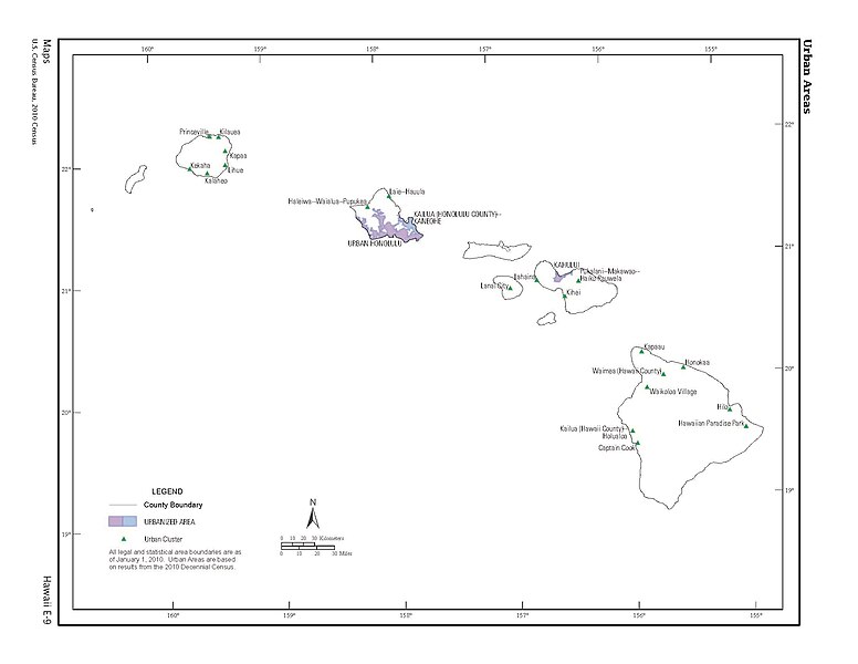
Hawaii 2010 Census of Population and Housing, CPH-2-13, Page 61
Summary[edit]
| Description |
English: Map from the Hawaii: 2010 Census of Population and Housing, CPH-2-13.pdf |
| Date | |
| Source | https://www2.census.gov/library/publications/decennial/2010/cph-2/cph-2-13.pdf |
| Author | U.S. Department of Commerce, Economics and Statistics Administration, U.S. CENSUS BUREAU |
Licensing[edit]
This image or file is a work of a United States Census Bureau employee, taken or made as part of that person's official duties. As a work of the U.S. federal government, the image is in the public domain.
|
 |
File history
Click on a date/time to view the file as it appeared at that time.
| Date/Time | Thumbnail | Dimensions | User | Comment | |
|---|---|---|---|---|---|
| current | 13:19, 6 June 2021 | | 2,200 × 1,700 (245 KB) | The Eloquent Peasant (talk | contribs) | Uploaded a work by U.S. Department of Commerce, Economics and Statistics Administration, U.S. CENSUS BUREAU from https://www2.census.gov/library/publications/decennial/2010/cph-2/cph-2-13.pdf with UploadWizard |
You cannot overwrite this file.
File usage on Commons
The following page uses this file: