File:Hardy Town 1811 map.jpg
Jump to navigation
Jump to search
No higher resolution available.
Hardy_Town_1811_map.jpg (709 × 592 pixels, file size: 257 KB, MIME type: image/jpeg)
Captions
Captions
Add a one-line explanation of what this file represents
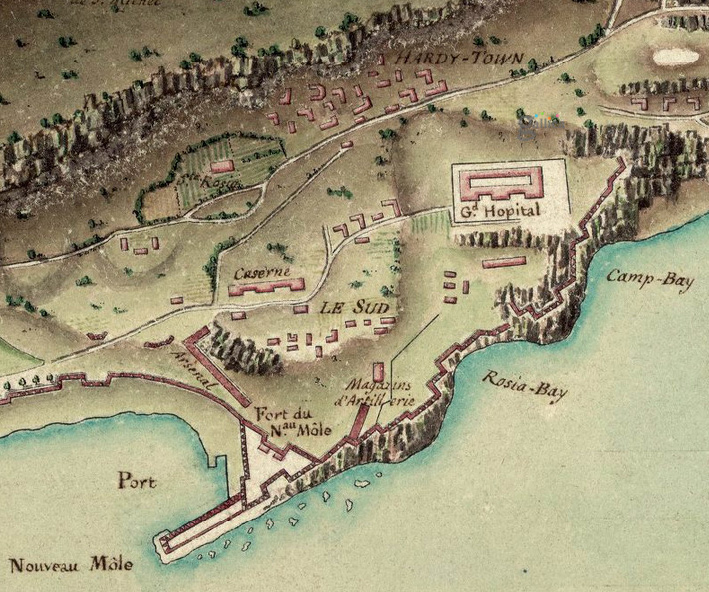
| Description | Extract from Plan de Gibraltar showing the Hardy Town encampment and the area around Rosia Bay | ||||
| Date | |||||
| Source | Bibliothèque nationale de France, département Cartes et plans, GE D-17265 | ||||
| Author | Jean-Denis Barbié du Bocage (1760-1825) | ||||
| Permission (Reusing this file) |
|
||||
File history
Click on a date/time to view the file as it appeared at that time.
| Date/Time | Thumbnail | Dimensions | User | Comment | |
|---|---|---|---|---|---|
| current | 17:48, 26 May 2013 | | 709 × 592 (257 KB) | Prioryman (talk | contribs) | {{Information |Description=Extract from ''Plan de Gibraltar'' showing the Hardy Town encampment and the area around Rosia Bay |Source=[http://gallica.bnf.fr/ark:/12148/btv1b8494897v Bibliothèque nationale de France, département Cartes et plans, GE D-... |
You cannot overwrite this file.
File usage on Commons
There are no pages that use this file.
File usage on other wikis
The following other wikis use this file:
- Usage on en.wikipedia.org
- Usage on www.wikidata.org