File:Halki sentinel2.jpg
Original file (1,130 × 679 pixels, file size: 179 KB, MIME type: image/jpeg)
Captions
Captions
Summary[edit]
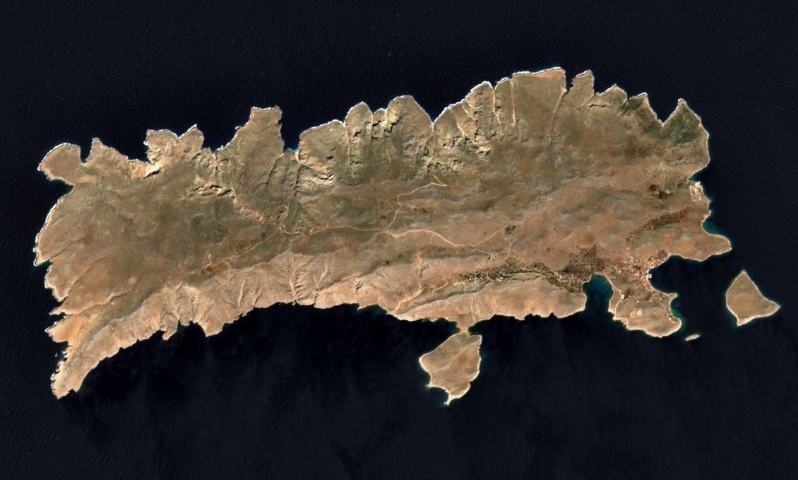
| Description |
English: Island of Rhodes greece by sentinel-2 |
| Date | |
| Source | https://scihub.copernicus.eu/dhus/#/home |
| Author | European Union, Sentinel-2 Imagery |
| Other versions |

| Object location | | View this and other nearby images on: OpenStreetMap |
|---|
Licensing[edit]

|
This image contains data from a satellite in the Copernicus Programme, such as Sentinel-1, Sentinel-2 or Sentinel-3. Attribution is required when using this image.
Attribution: Contains modified Copernicus Sentinel data 2023
The use of Copernicus Sentinel Data is regulated under EU law (Commission Delegated Regulation (EU) No 1159/2013 and Regulation (EU) No 377/2014). Relevant excerpts:
Free access shall be given to GMES dedicated data [...] made available through GMES dissemination platforms [...].
Access to GMES dedicated data [...] shall be given for the purpose of the following use in so far as it is lawful:
GMES dedicated data [...] may be used worldwide without limitations in time.
GMES dedicated data and GMES service information are provided to users without any express or implied warranty, including as regards quality and suitability for any purpose. |

|
This image has been assessed under the valued image criteria and is considered the most valued image on Commons within the scope: Aerial photographs of Chalki. You can see its nomination here. |
File history
Click on a date/time to view the file as it appeared at that time.
| Date/Time | Thumbnail | Dimensions | User | Comment | |
|---|---|---|---|---|---|
| current | 16:02, 7 June 2023 | | 1,130 × 679 (179 KB) | PalauanLibertarian (talk | contribs) | File:Rhodes sentinel2.jpg cropped 88 % horizontally, 92 % vertically using CropTool with precise mode. |
You cannot overwrite this file.
File usage on Commons
The following 6 pages use this file:
File usage on other wikis
The following other wikis use this file:
- Usage on ca.wikipedia.org
- Usage on en.wikipedia.org
- Usage on gl.wikipedia.org
- Usage on www.wikidata.org