File:Groynes between Lepe and Calshot, North Solent - geograph.org.uk - 33314.jpg
Jump to navigation
Jump to search
No higher resolution available.
Groynes_between_Lepe_and_Calshot,_North_Solent_-_geograph.org.uk_-_33314.jpg (640 × 480 pixels, file size: 176 KB, MIME type: image/jpeg)
Captions
Captions
Add a one-line explanation of what this file represents
Summary
[edit]
| Description |
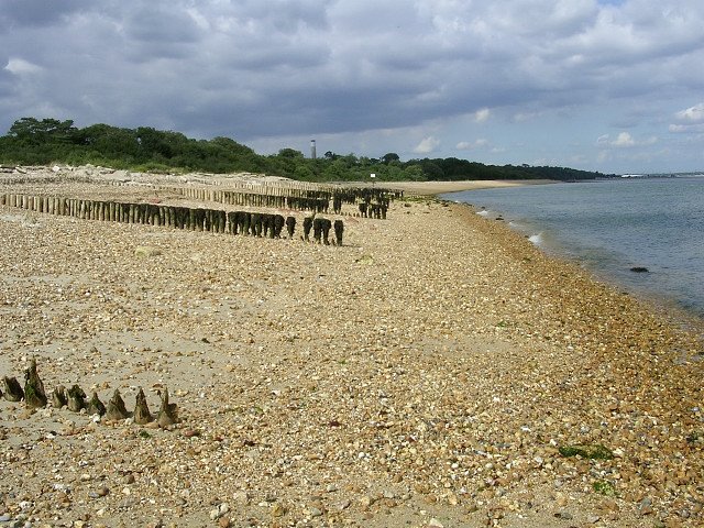
English: Groynes between Lepe and Calshot, North Solent.
|
| Date | |
| Source | From geograph.org.uk |
| Author | Jim Champion |
| Attribution (required by the license) | Jim Champion / Groynes between Lepe and Calshot, North Solent / |
| Camera location | | View this and other nearby images on: OpenStreetMap |
|---|
_heading:22.00&language=en)
| Object location | | View this and other nearby images on: OpenStreetMap |
|---|
_heading:22.00&language=en)
Licensing
[edit]

|
This image was taken from the Geograph project collection. See this photograph's page on the Geograph website for the photographer's contact details. The copyright on this image is owned by Jim Champion and is licensed for reuse under the Creative Commons Attribution-ShareAlike 2.0 license.
|
This file is licensed under the Creative Commons Attribution-Share Alike 2.0 Generic license.
Attribution: Jim Champion
- You are free:
- to share – to copy, distribute and transmit the work
- to remix – to adapt the work
- Under the following conditions:
- attribution – You must give appropriate credit, provide a link to the license, and indicate if changes were made. You may do so in any reasonable manner, but not in any way that suggests the licensor endorses you or your use.
- share alike – If you remix, transform, or build upon the material, you must distribute your contributions under the same or compatible license as the original.
[[Category:Beaches of Hampshire]}
File history
Click on a date/time to view the file as it appeared at that time.
| Date/Time | Thumbnail | Dimensions | User | Comment | |
|---|---|---|---|---|---|
| current | 14:05, 30 January 2010 | | 640 × 480 (176 KB) | GeographBot (talk | contribs) | == {{int:filedesc}} == {{Information |description={{en|1=Groynes between Lepe and Calshot, North Solent. The shingle beach in the foreground is part of the Lepe Country Park,and it is less populated by visitors as it can only be accessed by a walk around |
You cannot overwrite this file.
File usage on Commons
There are no pages that use this file.
File usage on other wikis
The following other wikis use this file:
- Usage on en.wikipedia.org