File:Greece outline map-2.gif
Jump to navigation
Jump to search

Size of this preview: 685 × 599 pixels. Other resolutions: 274 × 240 pixels | 549 × 480 pixels | 878 × 768 pixels | 1,111 × 972 pixels.
Original file (1,111 × 972 pixels, file size: 117 KB, MIME type: image/gif)
Captions
Captions
Add a one-line explanation of what this file represents
| Description |
Deutsch: Bearbeitete Version von Image:Greece_outline_map.png: Grenzen entfernt und einheitliche Farbe
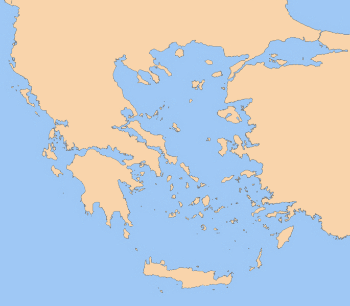
English: A blank map of Greece, with borders and coastlines; contact the author for help with modifications or add-ons |
||||||||
| Date | |||||||||
| Source |
en:Image:Greece_outline_map.png English: Reference map provided by Demis Mapper 6 |
||||||||
| Author | ChrisO Ralf Roletschek | ||||||||
| Permission (Reusing this file) |
ChrisO Ralf Roletschek, the copyright holder of this work, hereby publishes it under the following license:
|

Fotowerkstatt
This picture was reworked by the Fotowerkstatt. You can propose images to improve as well.
Original upload log
[edit]
(All user names refer to en.wikipedia)
- 2006-06-25 10:13 ChrisO 800×700×8 (14968 bytes) {{Information| |Beschreibung=A blank map of Greece, with roads, built-up areas and coastline; contact the author for help with modifications or add-ons |Quelle=Reference map provided by Demis Mapper 6 |Datum=2006-25-06 |Urheber=[[:de::commons:User:ChrisO|]]
The original description page was here. All following user names refer to de.wikipedia.
- 2007-03-02 14:15 Ralf Roletschek 1111×972× (119889 bytes) {{Bilderwerkstatt}} Bearbeitete Version von [[:Image:Greece_outline_map.png]] durch ~~~: Grenzen entfernt und einheitliche Farbe Original-Beschreibung: ---- {{Information |Beschreibung={{Information| |Beschreibung=A blank map of Greece, with borders
File history
Click on a date/time to view the file as it appeared at that time.
| Date/Time | Thumbnail | Dimensions | User | Comment | |
|---|---|---|---|---|---|
| current | 19:42, 12 May 2011 | | 1,111 × 972 (117 KB) | File Upload Bot (Magnus Manske) (talk | contribs) | {{BotMoveToCommons|de.wikipedia|year={{subst:CURRENTYEAR}}|month={{subst:CURRENTMONTHNAME}}|day={{subst:CURRENTDAY}}}} {{Information |Description={{de|A blank map of Greece, with borders and coastlines; contact the author for help with modifications or a |
You cannot overwrite this file.
File usage on Commons
There are no pages that use this file.
File usage on other wikis
The following other wikis use this file:
- Usage on de.wikipedia.org