File:Goryeong-map.png
Jump to navigation
Jump to search

Size of this preview: 647 × 599 pixels. Other resolutions: 259 × 240 pixels | 518 × 480 pixels | 829 × 768 pixels | 1,106 × 1,024 pixels | 2,211 × 2,048 pixels | 5,000 × 4,631 pixels.
Original file (5,000 × 4,631 pixels, file size: 1.18 MB, MIME type: image/png)
Captions
Captions
Add a one-line explanation of what this file represents
Summary
[edit]
| Description |
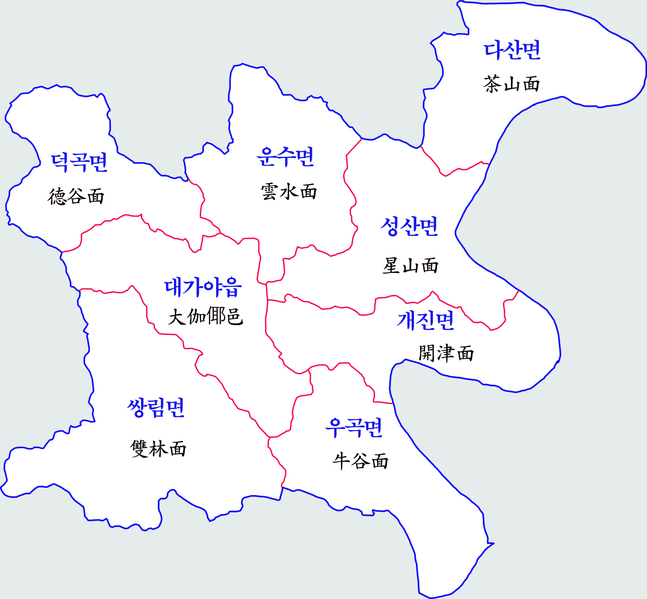
한국어: 고령군 행정지도 |
| Date | |
| Source | Own work |
| Author | 장길산 |
Licensing
[edit]
| I, the copyright holder of this work, release this work into the public domain. This applies worldwide. In some countries this may not be legally possible; if so: I grant anyone the right to use this work for any purpose, without any conditions, unless such conditions are required by law. |
File history
Click on a date/time to view the file as it appeared at that time.
| Date/Time | Thumbnail | Dimensions | User | Comment | |
|---|---|---|---|---|---|
| current | 01:27, 26 November 2021 | | 5,000 × 4,631 (1.18 MB) | Gloyacks (talk | contribs) | 구역수정 |
| 03:53, 21 July 2012 |  | 1,500 × 1,382 (542 KB) | Gloyacks (talk | contribs) | {{파일 정보 |설명=고령군 행정지도 |출처=자작 |날짜=2012년 7월 21일 |만든이=장길산 |저작권= |기타= }} |
You cannot overwrite this file.
File usage on Commons
The following page uses this file:
File usage on other wikis
The following other wikis use this file:
- Usage on en.wikipedia.org
- Usage on ja.wikipedia.org
- Usage on ko.wikipedia.org