File:Gniew (gmina) location map.png
Jump to navigation
Jump to search
Size of this preview: 304 × 599 pixels. Other resolutions: 122 × 240 pixels | 630 × 1,241 pixels.
Original file (630 × 1,241 pixels, file size: 164 KB, MIME type: image/png)
Captions
Captions
Add a one-line explanation of what this file represents
| Description |
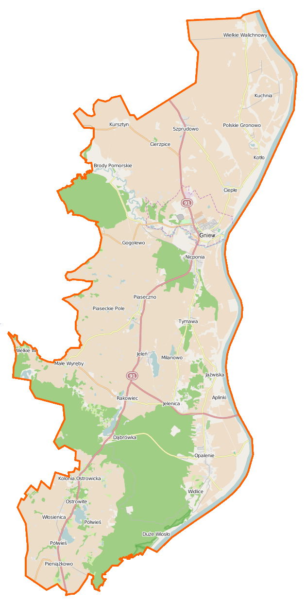
Polski: Mapa gminy Gniew, Polska
English: Map of Gmina Gniew, Poland |
|||||||||
| Date | ||||||||||
| Source | You may find a page on the OpenStreetMap wiki page for Gniew (gmina) | |||||||||
| Creator |
OpenStreetMap contributors OpenStreetMap contributors |
|||||||||
| Permission (Reusing this file) |
OpenStreetMap data is available under the Open Database License (details). Map tiles are licensed under the Creative Commons Attribution-ShareAlike 2.0 license (CC-BY-SA 2.0).
This file is licensed under the Creative Commons Attribution-Share Alike 2.0 Generic license.
|
|||||||||
| Geotemporal data | ||||||||||
| Bounding box |
|
|||||||||
| Georeferencing | If inappropriate please set warp_status = skip to hide. | |||||||||
File history
Click on a date/time to view the file as it appeared at that time.
| Date/Time | Thumbnail | Dimensions | User | Comment | |
|---|---|---|---|---|---|
| current | 12:38, 13 February 2015 | | 630 × 1,241 (164 KB) | VanWiel (talk | contribs) | {{OpenStreetMap | name = Gniew (gmina) | location = Gniew (gmina) | description = {{pl|Mapa gminy Gniew, Polska}} {{en|Map of Gmina Gniew, Poland}} | top = 53.9320 | bottom = 53.6802 | left... |
You cannot overwrite this file.
File usage on Commons
There are no pages that use this file.
File usage on other wikis
The following other wikis use this file:
- Usage on be.wikipedia.org
- Usage on de.wikipedia.org
- Usage on pl.wikipedia.org
- Gniew (miasto)
- Zamek w Gniewie
- Gniew (gmina)
- Nicponia
- Jaźwiska
- Kursztyn
- Kolonia Ostrowicka
- Kuchnia (województwo pomorskie)
- Bitwa pod Gniewem
- Opalenie
- Pieniążkowo
- Polskie Gronowo
- Szprudowo
- Widlice (województwo pomorskie)
- Wielkie Walichnowy
- Brody Pomorskie
- Ciepłe (województwo pomorskie)
- Jeleń (województwo pomorskie)
- Piaseczno (powiat tczewski)
- Półwieś (województwo pomorskie)
- Tymawa (województwo pomorskie)
- Włosienica (województwo pomorskie)
- Dąbrówka (powiat tczewski)
- Gogolewo (powiat tczewski)
- Rakowiec (powiat tczewski)
- Jezioro Tymawskie (województwo pomorskie)
- Jezioro Rakowieckie
- Pieniążkowo (jezioro)
- Półwieś (jezioro)
- Ostrowite (powiat tczewski)
- Cierzpice
- Stary Młyn (Kolonia Ostrowicka)
- Piaseckie Pole
- Wielkie Wyręby
- Mała Karczma
- Aplinki
- Rezerwat przyrody Wiosło Małe
- Rezerwat przyrody Wiosło Duże
- Rezerwat przyrody Opalenie Dolne
- Rezerwat przyrody Opalenie Górne
- Parafia św. Jana Chrzciciela w Pieniążkowie
- Parafia św. Mikołaja w Gniewie
- Parafia Świętych Apostołów Piotra i Pawła w Opaleniu
- Parafia Narodzenia Najświętszej Maryi Panny w Piasecznie
- Parafia św. Michała Archanioła w Tymawie
- Parafia św. Jana Chrzciciela w Wielkich Walichnowach
- Kościół św. Mikołaja w Gniewie
- Ratusz w Gniewie
View more global usage of this file.
_location_map.png)
_location_map.png&oldid=519964135)