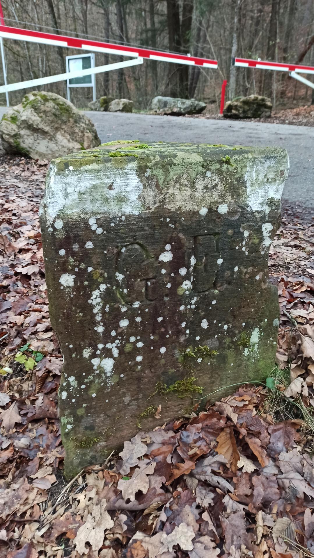
File:Geschlossene Wegschranke Hohe Straße Külsheim.jpg
Jump to navigation
Jump to search

Size of this preview: 800 × 354 pixels. Other resolutions: 320 × 142 pixels | 1,079 × 478 pixels.
Original file (1,079 × 478 pixels, file size: 68 KB, MIME type: image/jpeg)
Captions
Captions
Add a one-line explanation of what this file represents
Summary[edit]
| Description | |
| Date | 10 December 2023, 14:30:56 (original upload date) |
| Source | overview - direct - dataset |
| Author | Stefan Gerl |
| Permission (Reusing this file) |
Creative Commons Zero (CC0) |
| Other versions | |
| ID | 912458 |
| Category | 1872 |

| Object location | | View this and other nearby images on: OpenStreetMap |
|---|
This media file was collected by Landauf, LandApp under the ID 912458. This tag does not indicate the copyright status of the attached work. A normal copyright tag is still required. See Commons:Licensing. |
Licensing[edit]
| This file is made available under the Creative Commons CC0 1.0 Universal Public Domain Dedication. | |
| The person who associated a work with this deed has dedicated the work to the public domain by waiving all of their rights to the work worldwide under copyright law, including all related and neighboring rights, to the extent allowed by law. You can copy, modify, distribute and perform the work, even for commercial purposes, all without asking permission.
|
File history
Click on a date/time to view the file as it appeared at that time.
| Date/Time | Thumbnail | Dimensions | User | Comment | |
|---|---|---|---|---|---|
| current | 20:32, 1 January 2024 | | 1,079 × 478 (68 KB) | Triplec85 (talk | contribs) | File:Landappbw 912458 1824 Dreimärkerstein von 1866 Hohe Straße Külsheim.jpg cropped 75 % vertically using CropTool with precise mode. |
You cannot overwrite this file.
File usage on Commons
The following 3 pages use this file: