File:Geiser del Tatio.jpg
Jump to navigation
Jump to search

Size of this preview: 800 × 573 pixels. Other resolutions: 320 × 229 pixels | 640 × 458 pixels | 1,024 × 733 pixels | 1,280 × 917 pixels | 1,476 × 1,057 pixels.
Original file (1,476 × 1,057 pixels, file size: 693 KB, MIME type: image/jpeg)
Captions
Captions
Add a one-line explanation of what this file represents
Summary[edit]
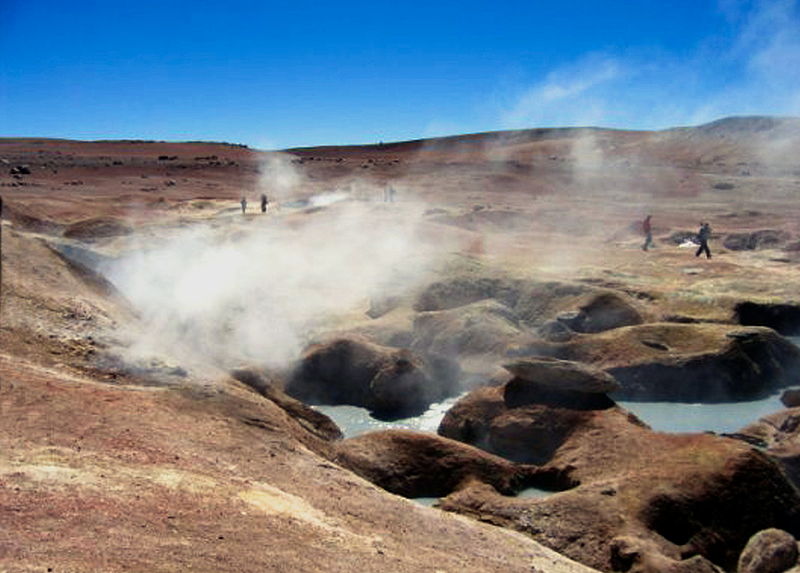
| Description | Les Geysers d'El Tatio.- Région d'Antofagasta, Chili. |
| Date | |
| Source | Own work |
| Author | PIERRE ANDRE LECLERCQ |
The geographical information in this file was retrospectively estimated.
The location may therefore be somewhat imprecise. Verifying and refining these coordinates is strongly encouraged. |
| Object location | | View this and other nearby images on: OpenStreetMap |
|---|
Licensing[edit]
I, the copyright holder of this work, hereby publish it under the following licenses:

|
Permission is granted to copy, distribute and/or modify this document under the terms of the GNU Free Documentation License, Version 1.2 or any later version published by the Free Software Foundation; with no Invariant Sections, no Front-Cover Texts, and no Back-Cover Texts. A copy of the license is included in the section entitled GNU Free Documentation License. |
This file is licensed under the Creative Commons Attribution-Share Alike Attribution-Share Alike 4.0 International, 3.0 Unported, 2.5 Generic, 2.0 Generic and 1.0 Generic license.
- You are free:
- to share – to copy, distribute and transmit the work
- to remix – to adapt the work
- Under the following conditions:
- attribution – You must give appropriate credit, provide a link to the license, and indicate if changes were made. You may do so in any reasonable manner, but not in any way that suggests the licensor endorses you or your use.
- share alike – If you remix, transform, or build upon the material, you must distribute your contributions under the same or compatible license as the original.
You may select the license of your choice.
File history
Click on a date/time to view the file as it appeared at that time.
| Date/Time | Thumbnail | Dimensions | User | Comment | |
|---|---|---|---|---|---|
| current | 12:07, 25 May 2015 | | 1,476 × 1,057 (693 KB) | Pierre André Leclercq (talk | contribs) |
You cannot overwrite this file.
File usage on Commons
The following page uses this file: