File:Galunggung Relief Map, SRTM-1.jpg
Jump to navigation
Jump to search

Size of this preview: 800 × 600 pixels. Other resolutions: 320 × 240 pixels | 640 × 480 pixels | 1,024 × 768 pixels | 1,280 × 960 pixels | 1,600 × 1,200 pixels.
Original file (1,600 × 1,200 pixels, file size: 1.17 MB, MIME type: image/jpeg)
Captions
Captions
Add a one-line explanation of what this file represents
Summary[edit]
| Description |
日本語: [:ja:ガルングン山 |
|||||
| Date | ||||||
| Source |
Topographic data: NASA's SRTM-1 30m Mesh (ver.3 2014) |
|||||
| Author | Batholith | |||||
| Permission (Reusing this file) |
|

| Object location | | View this and other nearby images on: OpenStreetMap |
|---|
File history
Click on a date/time to view the file as it appeared at that time.
| Date/Time | Thumbnail | Dimensions | User | Comment | |
|---|---|---|---|---|---|
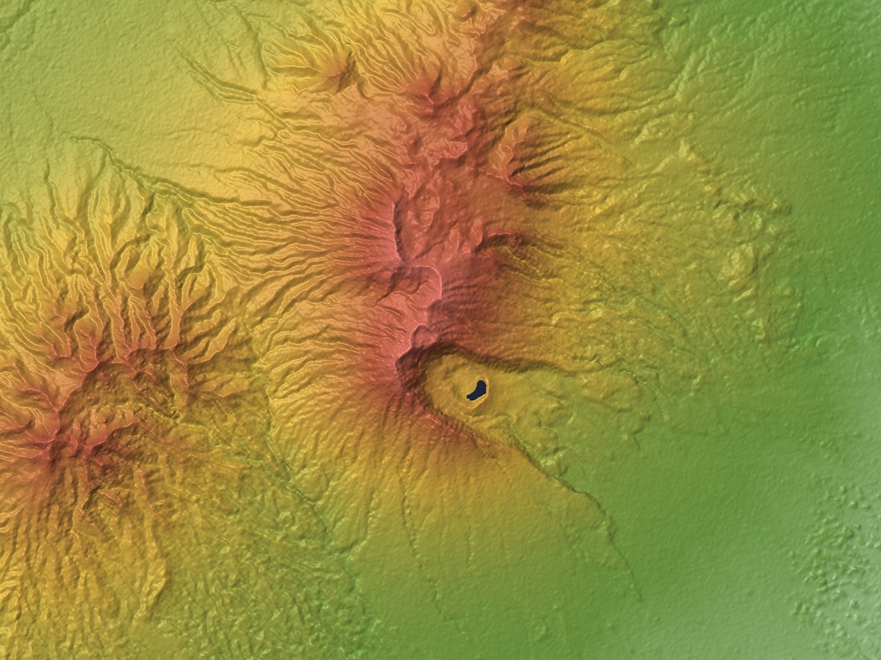
| current | 13:07, 1 April 2016 | | 1,600 × 1,200 (1.17 MB) | Batholith (talk | contribs) | {{Information |Description= {{en|Relief map of '''Galunggung''', West Java, Indonesia. Data from "SRTM-1 (30m Mesh) Ver.3 2014".}} {{ja|インドネシア[[:ja:西ジャ... |
You cannot overwrite this file.
File usage on Commons
The following 2 pages use this file:
File usage on other wikis
The following other wikis use this file:
- Usage on en.wikipedia.org
- Usage on ja.wikipedia.org
- Usage on uk.wikipedia.org