File:Funtensee Orthophoto.jpg
Jump to navigation
Jump to search

Size of this preview: 670 × 600 pixels. Other resolutions: 268 × 240 pixels | 536 × 480 pixels | 858 × 768 pixels | 1,256 × 1,124 pixels.
Original file (1,256 × 1,124 pixels, file size: 562 KB, MIME type: image/jpeg)
Captions
Captions
Add a one-line explanation of what this file represents
| Description |
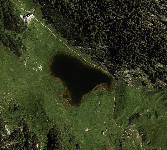
Deutsch: Funtensee in den Berchtesgadener Alpen. |
| Date | |
| Source | http://vermessung.bayern.de/opendata |
| Author | Datenquelle: Bayerische Vermessungsverwaltung – www.geodaten.bayern.de |
| Permission (Reusing this file) |
Bayerische Vermessungsverwaltung: OpenData This file is licensed under the Creative Commons Attribution 3.0 Germany license.
 |
| Object location | | View this and other nearby images on: OpenStreetMap |
|---|

.jpg)
.jpg)

File history
Click on a date/time to view the file as it appeared at that time.
| Date/Time | Thumbnail | Dimensions | User | Comment | |
|---|---|---|---|---|---|
| current | 13:34, 23 January 2014 | | 1,256 × 1,124 (562 KB) | Thgoiter (talk | contribs) | higher resolution |
| 07:53, 20 January 2014 |  | 558 × 540 (61 KB) | Thgoiter (talk | contribs) | {{Information |Description={{de|1=de:Funtensee in den Berchtesgadener Alpen.}} |Source=http://vermessung.bayern.de/opendata |Date=2012-08-01 |Author=Datenquelle: Bayerische Vermessungsverwaltung – www.geodaten.bayern.de |Permission={{cc-by-3.0-... |
You cannot overwrite this file.
File usage on Commons
The following page uses this file: