File:Fuller projection.svg
Jump to navigation
Jump to search

Size of this PNG preview of this SVG file: 800 × 383 pixels. Other resolutions: 320 × 153 pixels | 640 × 307 pixels | 1,024 × 491 pixels | 1,280 × 613 pixels | 2,560 × 1,226 pixels | 1,670 × 800 pixels.
Original file (SVG file, nominally 1,670 × 800 pixels, file size: 736 KB)
Captions
Captions
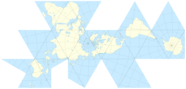
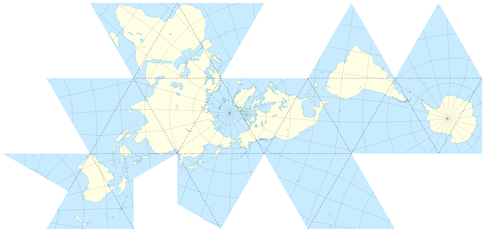
Fuller projection (Dymaxion Air-Ocean World map). Data used NGDC World Coast Line, printable map author Eric Gaba - Wikimedia Commons
Summary[edit]
| Description |
English: Blank map of the world in an unfolded Fuller projection, also known as Dymaxion Air-Ocean World map. 1954 final version for an icosahedron, with folding lines.
Français : Carte du monde suivant une projection de Fuller dépliée, aussi appelée carte Dymaxion. Version finale de 1954 pour un icosaèdre, avec lignes de pliures. |
||
| Date | May 2009 (for the new version) | ||
| Source |
Own work |
||
| Author | Eric Gaba (Sting - fr:Sting) | ||
| Permission (Reusing this file) |
|
||
| Other versions |
|

Licensing[edit]
Eric Gaba, Wikimedia Commons user Sting, the copyright holder of this work, hereby publishes it under the following license:
This file is licensed under the Creative Commons Attribution-Share Alike 2.5 Generic license.
Attribution: Eric Gaba, Wikimedia Commons user Sting
- You are free:
- to share – to copy, distribute and transmit the work
- to remix – to adapt the work
- Under the following conditions:
- attribution – You must give appropriate credit, provide a link to the license, and indicate if changes were made. You may do so in any reasonable manner, but not in any way that suggests the licensor endorses you or your use.
- share alike – If you remix, transform, or build upon the material, you must distribute your contributions under the same or compatible license as the original.
File history
Click on a date/time to view the file as it appeared at that time.
| Date/Time | Thumbnail | Dimensions | User | Comment | |
|---|---|---|---|---|---|
| current | 14:11, 8 May 2009 | | 1,670 × 800 (736 KB) | Sting (talk | contribs) | Competely new version using GIS data and software for the projection |
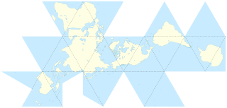
| 00:29, 24 September 2006 |  | 1,370 × 680 (628 KB) | Sting (talk | contribs) | Great Britain better rendering | |
| 18:59, 17 September 2006 |  | 1,370 × 680 (627 KB) | Sting (talk | contribs) | Dot lines | |
| 17:33, 17 September 2006 |  | 1,370 × 680 (627 KB) | Sting (talk | contribs) | {{Information |Description=Map of the world with a Fuller projection, also known as ''Dymaxion'', with folding lines |Source=Own work |Date=translation : September 2006 |Author=Eric Gaba (Sting) |Permission=CC-BY-SA-2.5 |other_versions=repr |
You cannot overwrite this file.
File usage on Commons
The following 6 pages use this file:
File usage on other wikis
The following other wikis use this file:
- Usage on az.wikiquote.org
- Usage on ca.wikipedia.org
- Usage on en.wikipedia.org
- Usage on en.wikiquote.org
- Usage on es.wikipedia.org
- Usage on fr.wikipedia.org
- Usage on hu.wikipedia.org
- Usage on id.wikipedia.org
- Usage on it.wikipedia.org
- Usage on ja.wikipedia.org
- Usage on nl.wikipedia.org
- Usage on no.wikipedia.org
- Usage on pt.wikipedia.org
- Usage on uk.wikipedia.org
.svg)