File:French Polynesia (orthographic projection, yellowblue).svg
Jump to navigation
Jump to search

Size of this PNG preview of this SVG file: 501 × 501 pixels. Other resolutions: 240 × 240 pixels | 480 × 480 pixels | 768 × 768 pixels | 1,024 × 1,024 pixels | 2,048 × 2,048 pixels.
Original file (SVG file, nominally 501 × 501 pixels, file size: 291 KB)
Captions
Captions
Add a one-line explanation of what this file represents
Summary[edit]
.svg&action=edit§ion=1)
| Description |
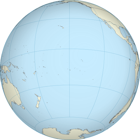
English: A map of the hemisphere centred on French Polynesia, using an orthographic projection, created using gringer's Perl script with Natural Earth Data (1:50000 resolution, simplified to 0.01px). Français : Représentation du globe terrestre centrée sur la Polynésie française. Carte en projection orthographique, générée par le script de Gringer en langage Perl avec les données du site www.naturalearthdata.com. Résolution 1:50000, simplifiée à 0,01 pixel. |
| Date | |
| Source | Own work |
| Author | Gringer |
| Other versions | |
| SVG | W3C-validity not checked. |
.svg)
| Camera location | | View this and other nearby images on: OpenStreetMap |
|---|
.svg¶ms=-17.500000_N_-149.500000_E_globe:Earth_type:camera_type:satellite_dim:40000km_heading:0.00&language=en)
Licensing[edit]
.svg&action=edit§ion=2)
| I, the copyright holder of this work, release this work into the public domain. This applies worldwide. In some countries this may not be legally possible; if so: I grant anyone the right to use this work for any purpose, without any conditions, unless such conditions are required by law. |
File history
Click on a date/time to view the file as it appeared at that time.
| Date/Time | Thumbnail | Dimensions | User | Comment | |
|---|---|---|---|---|---|
| current | 17:38, 27 April 2011 | | 501 × 501 (291 KB) | Sémhur (talk | contribs) | Try to see the map |
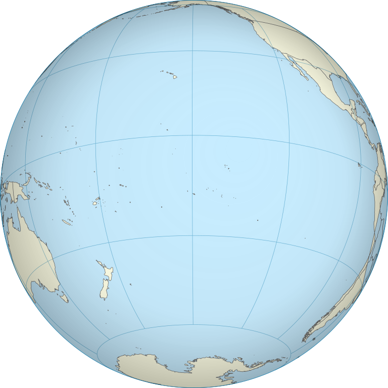
| 12:54, 5 October 2010 |  | 550 × 550 (744 KB) | Gringer (talk | contribs) | {{Information |Description={{en|1=A map of the hemisphere centred on French Polynesia, using an orthographic projection, created using gringer's Perl script with Natural Earth Data (1:50000 resolution, simplified to 0.25px). }} |Source={{own}} |Author=[[U |
You cannot overwrite this file.
File usage on Commons
The following 15 pages use this file:
- File:American Samoa on the globe (French Polynesia centered).svg
- File:Cook Islands on the globe (French Polynesia centered).svg
- File:Easter Island on the globe (French Polynesia centered).svg
- File:French Polynesia (orthographic projection).svg
- File:French Polynesia on the globe (French Polynesia centered).svg
- File:Hawaii on the globe (French Polynesia centered).svg
- File:New Zealand on the globe (French Polynesia centered).svg
- File:Niue on the globe (French Polynesia centered).svg
- File:Norfolk Island on the globe (French Polynesia centered).svg
- File:Pitcairn Islands on the globe (French Polynesia centered).svg
- File:Samoa on the globe (French Polynesia centered).svg
- File:Tokelau on the globe (French Polynesia centered).svg
- File:Tonga on the globe (French Polynesia centered).svg
- File:Tuvalu on the globe (French Polynesia centered).svg
- File:Wallis and Futuna on the globe (French Polynesia centered).svg
.svg)
.svg)
.svg)
.svg)
.svg)
.svg)
.svg)
.svg)
.svg)
.svg)
.svg)
.svg)
.svg)
.svg)
File usage on other wikis
The following other wikis use this file:
- Usage on en.wikipedia.org
- Usage on pt.wikipedia.org
.svg&oldid=771527176)