File:Frankenberg, Kursächsische Distanzsäule (3).jpg
Jump to navigation
Jump to search

Size of this preview: 450 × 600 pixels. Other resolutions: 180 × 240 pixels | 360 × 480 pixels | 576 × 768 pixels | 768 × 1,024 pixels | 1,536 × 2,048 pixels | 3,162 × 4,216 pixels.
Original file (3,162 × 4,216 pixels, file size: 4.97 MB, MIME type: image/jpeg)
Captions
Captions
Add a one-line explanation of what this file represents
Summary[edit]
| Description |
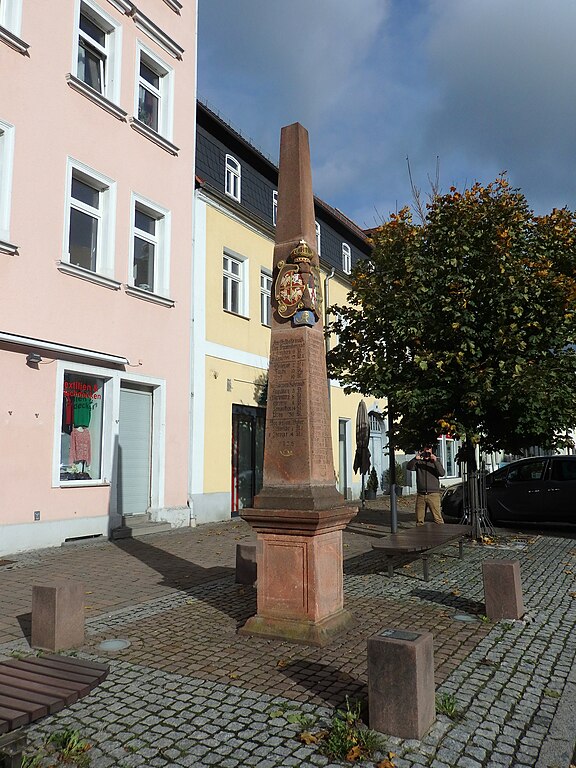
Deutsch: Frankenberg, Kursächsische Distanzsäule, Markt
This is a photograph of a cultural monument. It is on the list of cultural monuments of Frankenberg/Sa., no. 09244070. |
||
| Date | Taken on 15 October 2023, 10:35 | ||
| Source | Self-photographed | ||
| Author | Manfred Schröter, Berga |
| Object location | | View this and other nearby images on: OpenStreetMap |
|---|
Licensing[edit]
Manfred Schröter, Berga, the copyright holder of this work, hereby publishes it under the following license:
This file is licensed under the Creative Commons Attribution-Share Alike 4.0 International license.
Attribution: Manfred Schröter, Berga
- You are free:
- to share – to copy, distribute and transmit the work
- to remix – to adapt the work
- Under the following conditions:
- attribution – You must give appropriate credit, provide a link to the license, and indicate if changes were made. You may do so in any reasonable manner, but not in any way that suggests the licensor endorses you or your use.
- share alike – If you remix, transform, or build upon the material, you must distribute your contributions under the same or compatible license as the original.
| Annotations | This image is annotated: View the annotations at Commons |
_Plakette.jpg)
.jpg&action=edit§ion=1)
.jpg¶ms=050.912724_N_0013.032577_E_globe:Earth_class:object_type:object_region:DE-SN_&language=en)
.jpg&action=edit§ion=2)
.jpg)
File history
Click on a date/time to view the file as it appeared at that time.
| Date/Time | Thumbnail | Dimensions | User | Comment | |
|---|---|---|---|---|---|
| current | 21:29, 14 January 2024 | | 3,162 × 4,216 (4.97 MB) | Manfred Schröter, Berga (talk | contribs) | == {{int:filedesc}} == {{Information |description={{de|1=Frankenberg, Kursächsische Distanzsäule, Markt * Auf dem Markt steht eine Nachbildung der Distanzsäule von 1969 mit der Jahreszahl 1725, hergestellt aus Rochlitzer Porphyr. Gesetzt wurde die Originalsäule 1725, auch auf dem Markt. Material war damals Hilbersdorfer Porphyrtuff. Der Steinmetz hat an dieser Säu... |
You cannot overwrite this file.
File usage on Commons
The following page uses this file:
.jpg&oldid=844063249)