File:France proposal regions (1955) map.svg
Jump to navigation
Jump to search

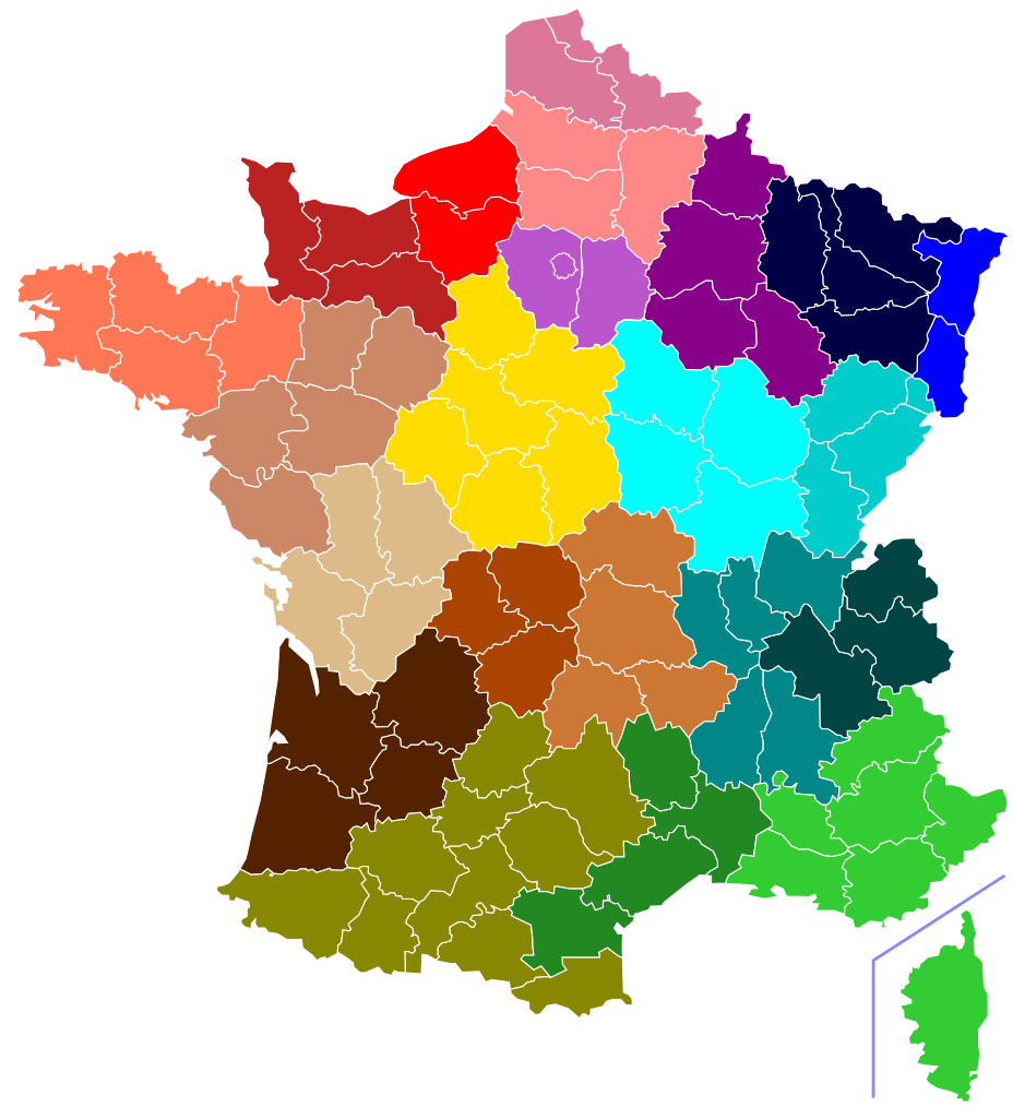
Size of this PNG preview of this SVG file: 507 × 553 pixels. Other resolutions: 220 × 240 pixels | 440 × 480 pixels | 704 × 768 pixels | 939 × 1,024 pixels | 1,878 × 2,048 pixels.
Original file (SVG file, nominally 507 × 553 pixels, file size: 112 KB)
Captions
Captions
Add a one-line explanation of what this file represents
Summary[edit]
_map.svg&action=edit§ion=1)
| Description |
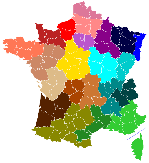
Français : Carte des 24 régions du programme d'action régionale |
| Date | |
| Source | Own work d'après Naturals |
| Author | Gtaf (fichier d'origine Naturals) |
Licensing[edit]
_map.svg&action=edit§ion=2)
I, the copyright holder of this work, hereby publish it under the following license:
This file is licensed under the Creative Commons Attribution-Share Alike 3.0 Unported license.
- You are free:
- to share – to copy, distribute and transmit the work
- to remix – to adapt the work
- Under the following conditions:
- attribution – You must give appropriate credit, provide a link to the license, and indicate if changes were made. You may do so in any reasonable manner, but not in any way that suggests the licensor endorses you or your use.
- share alike – If you remix, transform, or build upon the material, you must distribute your contributions under the same or compatible license as the original.
File history
Click on a date/time to view the file as it appeared at that time.
| Date/Time | Thumbnail | Dimensions | User | Comment | |
|---|---|---|---|---|---|
| current | 00:16, 8 April 2018 | | 507 × 553 (112 KB) | Chabe01 (talk | contribs) | L'article (https://www.legifrance.gouv.fr/jo_pdf.do?numJO=0&dateJO=19561206&numTexte=&pageDebut=11649&pageFin=) informe que l'Ain est inscrit dans la région du Rhône et non des Alpes. |
| 21:25, 23 February 2016 |  | 507 × 553 (124 KB) | Verdy p (talk | contribs) | Corrections: la Corse en 1955 était proposée dans la région Provence, et les région Rhône et Alpes étaient encore séparées. Compactage manuel de la syntaxe et des attributs | |
| 23:55, 10 June 2014 |  | 507 × 553 (146 KB) | Gtaf (talk | contribs) | correction Seine | |
| 06:56, 9 June 2014 |  | 507 × 553 (145 KB) | Gtaf (talk | contribs) | correction erreur couleur des Pyrénées-Atlantique + fusion 2 départements de la Corse | |
| 06:19, 9 June 2014 |  | 507 × 553 (146 KB) | Gtaf (talk | contribs) | User created page with UploadWizard |
You cannot overwrite this file.
File usage on Commons
There are no pages that use this file.
File usage on other wikis
The following other wikis use this file:
- Usage on ast.wikipedia.org
- Usage on es.wikipedia.org
- Usage on fr.wikipedia.org
_map.svg&oldid=515855143)