File:Former NCR HQ by USGS.jpg
Jump to navigation
Jump to search
Size of this preview: 458 × 600 pixels. Other resolutions: 183 × 240 pixels | 620 × 812 pixels.
Original file (620 × 812 pixels, file size: 317 KB, MIME type: image/jpeg)
Captions
Captions
Add a one-line explanation of what this file represents
Summary[edit]
| Description |
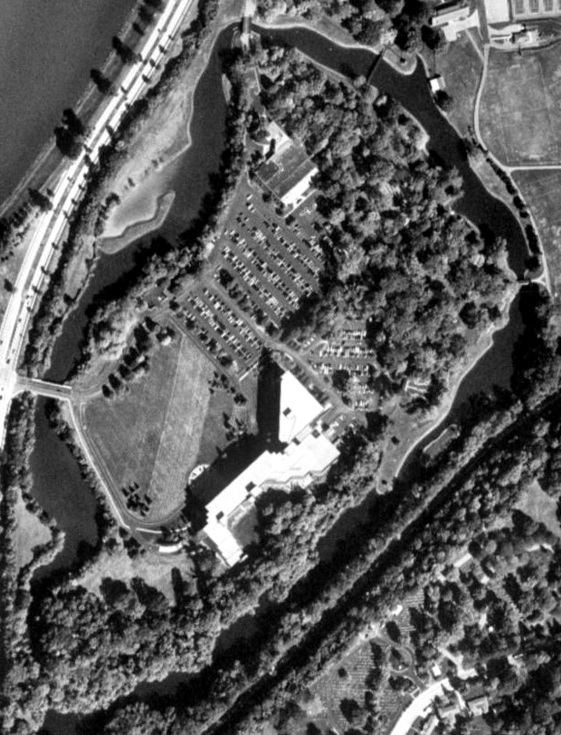
English: Aerial image of the former headquarters of the NCR Corporation, now part of the University of Dayton. |
| Date | |
| Source | USGS The National Map, via MSR Maps (formerly TerraServer-USA) |
| Author | United States Geological Survey (USGS) |
| Permission (Reusing this file) |
Public domain |
Licensing[edit]
This image is in the public domain in the United States because it only contains materials that originally came from the United States Geological Survey, an agency of the United States Department of the Interior. For more information, see the official USGS copyright policy.
|
File history
Click on a date/time to view the file as it appeared at that time.
| Date/Time | Thumbnail | Dimensions | User | Comment | |
|---|---|---|---|---|---|
| current | 01:56, 22 December 2009 | | 620 × 812 (317 KB) | MBisanz (talk | contribs) | {{Information |Description={{en|1=Aerial view of the former headquarters of the w:NCR Corporation now part of the w:University of Dayton.}} |Source=[http://terraserver-usa.com/usgsentry.aspx?T=1&S=10&Z=16&X=3703&Y=22009&W=10 USGS] |Author=USGS |Da |
You cannot overwrite this file.
File usage on Commons
There are no pages that use this file.