File:Film-production-map-2015.jpg
Jump to navigation
Jump to search

Size of this preview: 800 × 413 pixels. Other resolutions: 320 × 165 pixels | 640 × 330 pixels | 1,024 × 528 pixels | 1,280 × 661 pixels | 3,308 × 1,707 pixels.
Original file (3,308 × 1,707 pixels, file size: 628 KB, MIME type: image/jpeg)
Captions
Captions
Add a one-line explanation of what this file represents

|
This map of the world image could be re-created using vector graphics as an SVG file. This has several advantages; see Commons:Media for cleanup for more information. If an SVG form of this image is available, please upload it and afterwards replace this template with
{{vector version available|new image name}}.
It is recommended to name the SVG file “Film-production-map-2015.svg”—then the template Vector version available (or Vva) does not need the new image name parameter. |


Summary[edit]
| Description |
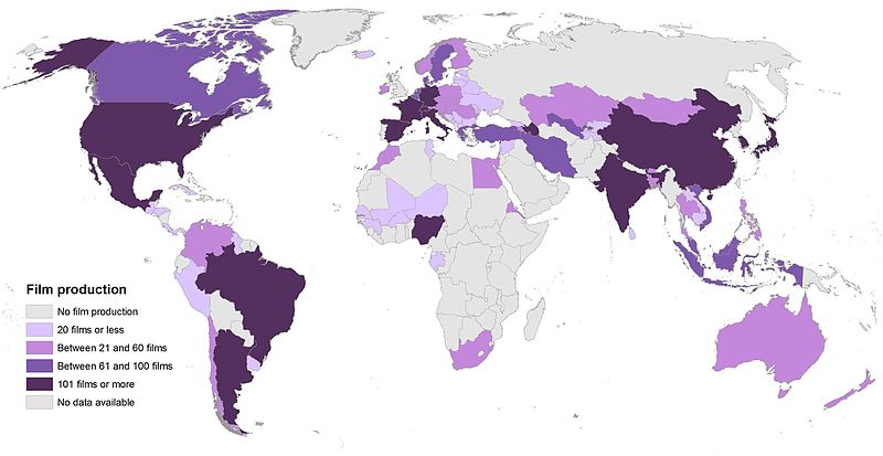
English: UNESCO 2015 film production map |
| Date | |
| Source | Own work |
| Author | Jamie Tubers |
Licensing[edit]
I, the copyright holder of this work, hereby publish it under the following license:
This file is licensed under the Creative Commons Attribution-Share Alike 4.0 International license.
- You are free:
- to share – to copy, distribute and transmit the work
- to remix – to adapt the work
- Under the following conditions:
- attribution – You must give appropriate credit, provide a link to the license, and indicate if changes were made. You may do so in any reasonable manner, but not in any way that suggests the licensor endorses you or your use.
- share alike – If you remix, transform, or build upon the material, you must distribute your contributions under the same or compatible license as the original.
File history
Click on a date/time to view the file as it appeared at that time.
| Date/Time | Thumbnail | Dimensions | User | Comment | |
|---|---|---|---|---|---|
| current | 13:25, 2 March 2017 | | 3,308 × 1,707 (628 KB) | Jamie Tubers (talk | contribs) | Reverted to version as of 14:36, 29 December 2016 (UTC). The quality has been tampered with. Image is now very blurred, when zoom |
| 20:51, 24 February 2017 |  | 3,308 × 1,707 (1.06 MB) | Tiger7253 (talk | contribs) | Correcting India-specific errors - Andaman and Nicobar Islands aren't filled in. Arunachal Pradesh isn't filled in. Parts of Jammu and Kashmir not filled in either. If we're going to exclude disputed regions in this map, we might as well shade Tibet, C... | |
| 14:36, 29 December 2016 |  | 3,308 × 1,707 (628 KB) | Jamie Tubers (talk | contribs) | User created page with UploadWizard |
You cannot overwrite this file.
File usage on Commons
There are no pages that use this file.
File usage on other wikis
The following other wikis use this file:
- Usage on pl.wikipedia.org
- Usage on th.wikipedia.org