File:File-53670.BB001--Map showing land along Main Street--0.9 miles east of depot--Madison, NJ -1914.07.14- (edd9af0c-fa37-45d9-8bd9-821b88a150bc).jpg
Jump to navigation
Jump to search

Size of this preview: 800 × 501 pixels. Other resolutions: 320 × 200 pixels | 640 × 401 pixels | 1,024 × 641 pixels | 1,280 × 802 pixels | 2,593 × 1,624 pixels.
Original file (2,593 × 1,624 pixels, file size: 573 KB, MIME type: image/jpeg)
Captions
Captions
Add a one-line explanation of what this file represents

|
The categories of this image need checking. You can do so here.
|
.jpg&action=edit&withJS=MediaWiki:Catcheck.js)
Summary[edit]
.jpg&action=edit§ion=1)
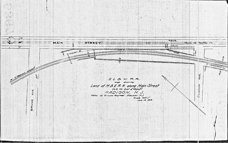
| English: 53670.BB#001--Map showing land along Main Street--0.9 miles east of depot--Madison, NJ [1914.07.14] | |||
|---|---|---|---|
| Photographer |
Unknown author |
||
| Title |
English: 53670.BB#001--Map showing land along Main Street--0.9 miles east of depot--Madison, NJ [1914.07.14] |
||
| Description |
English: 53670.BB#001--Map showing land along Main Street--0.9 miles east of depot--Madison, NJ [1914.07.14]
|
||
| Depicted place |
English: Madison, NJ |
||
| Date | Taken on 14 July 1914 | ||
| Accession number | |||
| Source |
English: NPGallery |
||
| Permission (Reusing this file) |
|
||
| NPS Unit Code | STEA | ||
| Compiler | English: Office of Division Engineer--Hoboken Delaware, Lackawanna & Western Railroad |
||
| ANCS-plus (Museum Management catalog) | 002/003.06.03.03-53670.BB#001 | ||
| Legacy NPS Focus Record ID | 520003 | ||
File history
Click on a date/time to view the file as it appeared at that time.
| Date/Time | Thumbnail | Dimensions | User | Comment | |
|---|---|---|---|---|---|
| current | 01:22, 7 July 2019 | | 2,593 × 1,624 (573 KB) | BMacZeroBot (talk | contribs) | Batch upload (Commons:Batch uploading/NPGallery) |
You cannot overwrite this file.
File usage on Commons
The following page uses this file:
.jpg)
.jpg&oldid=703401316)