File:Euskalherria landsat.jpg
Jump to navigation
Jump to search

Size of this preview: 657 × 600 pixels. Other resolutions: 263 × 240 pixels | 526 × 480 pixels | 1,000 × 913 pixels.
Original file (1,000 × 913 pixels, file size: 421 KB, MIME type: image/jpeg)
Captions
Captions
Add a one-line explanation of what this file represents
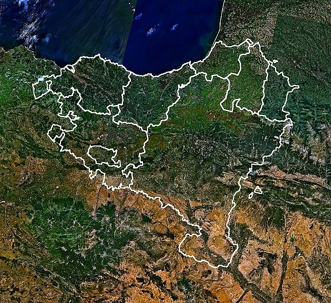
| Description | Euskal Herriko mapa Landsat irudi baten gainean | |||
| Date | ||||
| Source | NASA World Wind | |||
| Author | Asier Sarasua Garmendia | |||
| Permission (Reusing this file) |
|

File history
Click on a date/time to view the file as it appeared at that time.
| Date/Time | Thumbnail | Dimensions | User | Comment | |
|---|---|---|---|---|---|
| current | 15:14, 12 March 2008 | | 1,000 × 913 (421 KB) | Assar (talk | contribs) | {{Information |Description= |Source= |Date= |Author= |Permission= |other_versions= }} |
You cannot overwrite this file.
File usage on Commons
There are no pages that use this file.
File usage on other wikis
The following other wikis use this file:
- Usage on en.wikipedia.org
- Usage on eu.wikipedia.org
- Usage on www.wikidata.org