File:European Rivers.gif
Jump to navigation
Jump to search

Size of this preview: 800 × 533 pixels. Other resolutions: 320 × 213 pixels | 640 × 427 pixels | 1,024 × 683 pixels | 1,280 × 853 pixels | 3,000 × 2,000 pixels.
Original file (3,000 × 2,000 pixels, file size: 255 KB, MIME type: image/gif)
Captions
Captions
Add a one-line explanation of what this file represents
Summary[edit]
| Description |
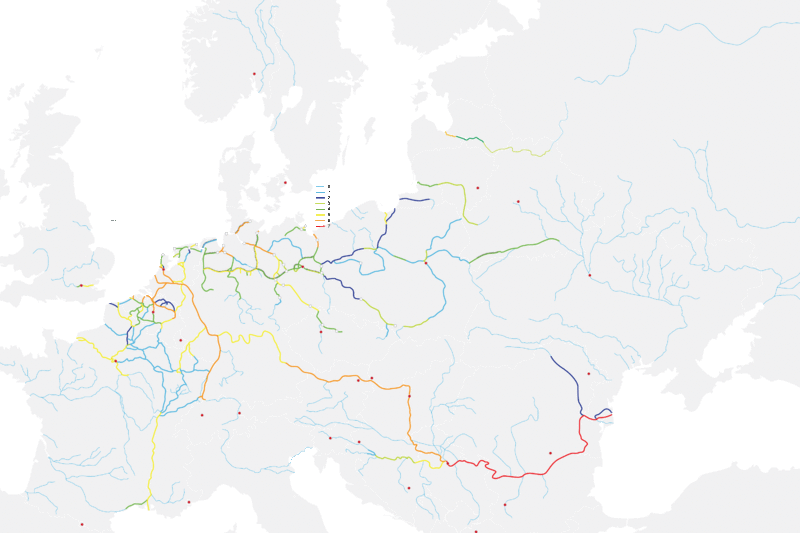
English: European waterways (rivers + canals), schematic drawing Français : Voies navigables européennes (cours d'eau et canaux), carte schématique |
| Date | |
| Source | Own work |
| Author | Ahnode |
This a temporary file, it will be soon replaced with an svg version.
Licensing[edit]
| I, the copyright holder of this work, release this work into the public domain. This applies worldwide. In some countries this may not be legally possible; if so: I grant anyone the right to use this work for any purpose, without any conditions, unless such conditions are required by law. |
File history
Click on a date/time to view the file as it appeared at that time.
| Date/Time | Thumbnail | Dimensions | User | Comment | |
|---|---|---|---|---|---|
| current | 22:24, 17 August 2013 | | 3,000 × 2,000 (255 KB) | Mchl (talk | contribs) | Reverted to version as of 15:55, 27 May 2009 |
| 14:53, 5 December 2012 |  | 800 × 533 (33 KB) | Ciaurlec (talk | contribs) | Recoloured to make the map more readable. | |
| 15:55, 27 May 2009 |  | 3,000 × 2,000 (255 KB) | Ahnode (talk | contribs) | Adding more information to the map | |
| 17:00, 17 March 2009 |  | 2,220 × 1,191 (144 KB) | Ahnode (talk | contribs) | In progress | |
| 18:18, 14 March 2009 |  | 1,000 × 500 (30 KB) | Ahnode (talk | contribs) | {{Information |Description={{en|1=European rivers, schematic drawing }} |Source=Own work by uploader |Author=Ahnode |Date=2009-03-14 |Permission= |other_versions= }} This a temporary file, it will be soon replaced with an svg version. <!-- |
You cannot overwrite this file.
File usage on Commons
The following 2 pages use this file:
File usage on other wikis
The following other wikis use this file:
- Usage on bg.wikipedia.org
- Usage on ca.wikipedia.org
- Usage on de.wikipedia.org
- Usage on en.wikipedia.org
- Usage on fa.wikipedia.org
- Usage on fr.wikipedia.org
- Usage on hu.wikipedia.org
- Usage on ja.wikipedia.org
- Usage on nl.wikipedia.org
- Usage on nn.wikipedia.org
- Usage on no.wikipedia.org
- Usage on pl.wikipedia.org
- Usage on sv.wikipedia.org
- Usage on uk.wikipedia.org