File:EuroVelo Route 6 map.svg
Jump to navigation
Jump to search

Size of this PNG preview of this SVG file: 800 × 548 pixels. Other resolutions: 320 × 219 pixels | 640 × 438 pixels | 1,024 × 701 pixels | 1,280 × 876 pixels | 2,560 × 1,753 pixels | 1,116 × 764 pixels.
Original file (SVG file, nominally 1,116 × 764 pixels, file size: 870 KB)
Captions
Captions
Add a one-line explanation of what this file represents
Summary[edit]
| Description |
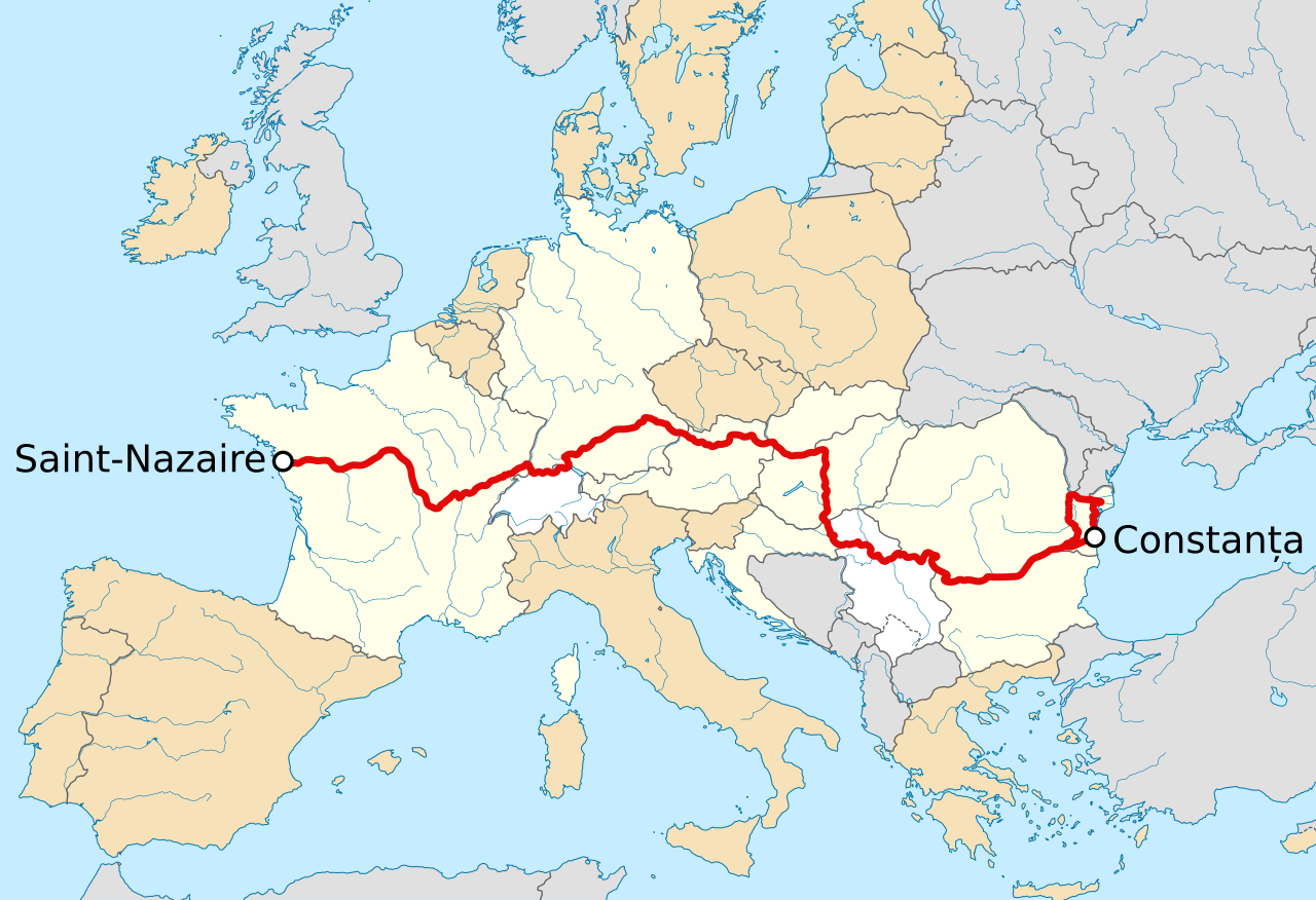
English: SVG map of the EuroVelo Route 6. English: Carte SVG de la route EuroVelo 6. |
| Date | (UTC) |
| Source |
This file was derived from: Europe laea location map.svg: |
| Author |
|
| This is a retouched picture, which means that it has been digitally altered from its original version. Modifications: Cropped, and added Eurovelo details (road, cities, color of countries). The original can be viewed here: Europe laea location map.svg:
|
Licensing[edit]
I, the copyright holder of this work, hereby publish it under the following license:
This file is licensed under the Creative Commons Attribution-Share Alike 3.0 Unported license.
- You are free:
- to share – to copy, distribute and transmit the work
- to remix – to adapt the work
- Under the following conditions:
- attribution – You must give appropriate credit, provide a link to the license, and indicate if changes were made. You may do so in any reasonable manner, but not in any way that suggests the licensor endorses you or your use.
- share alike – If you remix, transform, or build upon the material, you must distribute your contributions under the same or compatible license as the original.
Original upload log[edit]
This image is a derivative work of the following images:
- File:Europe_laea_location_map.svg licensed with Cc-by-sa-3.0
- 2012-08-20T22:57:00Z McZusatz 1401x1198 (2313185 Bytes) Reverted to version as of 19:40, 10 March 2010 (...thumb fixed?)
- 2012-08-20T22:56:21Z McZusatz 1401x1198 (1521812 Bytes) Reverted to version as of 18:44, 10 March 2010 (fixing thumb...)
- 2010-03-10T19:40:39Z Alexrk2 1401x1198 (2313185 Bytes) +San Marino, enh. coastline & countries
- 2010-03-10T18:44:00Z Alexrk2 1401x1198 (1521812 Bytes) == Summary == {{Information |Description= {{de|Positionskarte [[:de:Europa|Europa]]; Politisch mit Staatsgrenzen, Inlandgewässer; Flächentreue Azimutalprojektion}} {{en|Location map [[:en:Europe|Europe]]; Political with sta
Uploaded with derivativeFX
File history
Click on a date/time to view the file as it appeared at that time.
| Date/Time | Thumbnail | Dimensions | User | Comment | |
|---|---|---|---|---|---|
| current | 14:24, 10 June 2021 | | 1,116 × 764 (870 KB) | Raphaël Dunant (talk | contribs) | channel islands |
| 14:23, 10 June 2021 |  | 1,116 × 764 (870 KB) | Raphaël Dunant (talk | contribs) | Croatia and UK | |
| 17:09, 9 January 2013 |  | 1,116 × 764 (873 KB) | Flappiefh (talk | contribs) | == {{int:filedesc}} == {{Information |Description={{en|SVG map of the EuroVelo Route 6.}}{{en|Carte SVG de la route EuroVelo 6.}} |Source={{Derived from|Europe_laea_location_map.svg|display=50}} |Date=2013-01-09 17:02 (UTC) |Author=*[[:File:Europe_laea... |
You cannot overwrite this file.
File usage on Commons
The following page uses this file:
File usage on other wikis
The following other wikis use this file:
- Usage on ca.wikipedia.org
- Usage on fr.wikipedia.org
- Usage on it.wikivoyage.org