File:Estado Nor-Peruano.svg
Jump to navigation
Jump to search

Size of this PNG preview of this SVG file: 576 × 600 pixels. Other resolutions: 230 × 240 pixels | 461 × 480 pixels | 738 × 768 pixels | 983 × 1,024 pixels | 1,967 × 2,048 pixels | 850 × 885 pixels.
Original file (SVG file, nominally 850 × 885 pixels, file size: 632 KB)
Captions
Captions
Add a one-line explanation of what this file represents
Summary[edit]
| Description |
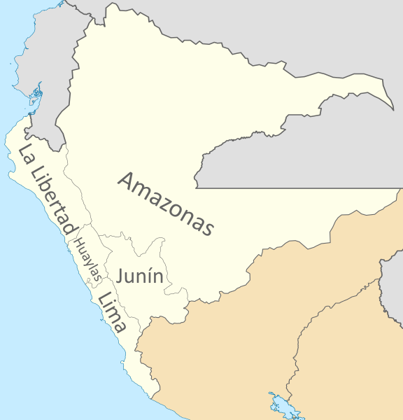
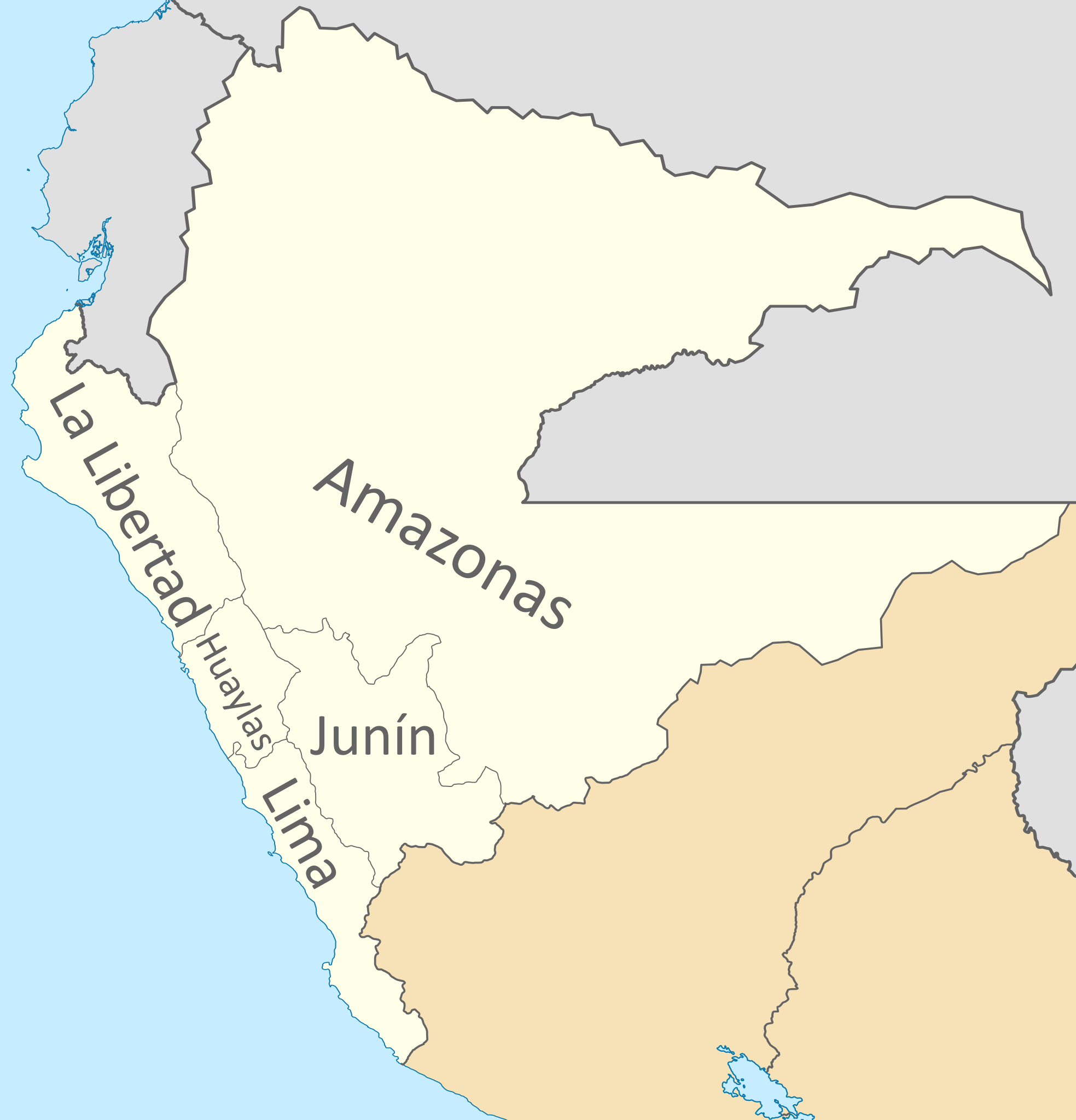
Español: Mapa del Estado Nor-Peruano, Confederación Perú-Boliviana.
Incluye el territorio amazonico disputado con Ecuador, Colombia y Brasil.
English: Map of the North-Peruvian State, Peru-Bolivian Confederation.
It includes the Amazon disputed territory with Ecuador, Colombia and Brazil. |
| Date | |
| Source |
Own work Coastline extracted from: File:Ecuador location map.svg & File:Chile location map.svg by NordNordWest & File:Peru location map.svg by Spischot |
| Author |
Janitoalevic Coastline extracted from: File:Ecuador location map.svg & File:Chile location map.svg by NordNordWest & File:Peru location map.svg by Spischot |
| Other versions | File:Divisiones administrativas de la Confederación Perú-Boliviana.svg |
Licensing[edit]

|
Permission is granted to copy, distribute and/or modify this document under the terms of the GNU Free Documentation License, Version 1.2 or any later version published by the Free Software Foundation; with no Invariant Sections, no Front-Cover Texts, and no Back-Cover Texts. A copy of the license is included in the section entitled GNU Free Documentation License. |
If this file is eligible for relicensing, it may also be used under the Creative Commons Attribution-ShareAlike 3.0 license. The relicensing status of this image has not yet been reviewed. You can help.
|
File history
Click on a date/time to view the file as it appeared at that time.
| Date/Time | Thumbnail | Dimensions | User | Comment | |
|---|---|---|---|---|---|
| current | 02:35, 22 July 2020 | | 850 × 885 (632 KB) | Janitoalevic (talk | contribs) | + Huaylas |
| 23:55, 27 August 2019 |  | 850 × 885 (655 KB) | Janitoalevic (talk | contribs) | User created page with UploadWizard |
You cannot overwrite this file.
File usage on Commons
The following 2 pages use this file:
File usage on other wikis
The following other wikis use this file:
- Usage on ca.wikipedia.org
- Usage on de.wikipedia.org
- Usage on en.wikipedia.org
- Subdivisions of the Peru–Bolivian Confederation
- Department of Lima (Peru–Bolivian Confederation)
- Department of Amazonas (Peru–Bolivian Confederation)
- Department of Huaylas (Peru–Bolivian Confederation)
- Department of Junín (Peru–Bolivian Confederation)
- Department of La Libertad (Peru–Bolivian Confederation)
- Usage on es.wikipedia.org
- Estado Nor-Peruano
- Organización territorial de la Confederación Perú-Boliviana
- Departamento de Amazonas (Confederación Perú-Boliviana)
- Departamento de Lima (Confederación Perú-Boliviana)
- Departamento de Junín (Confederación Perú-Boliviana)
- Departamento de La Libertad (Confederación Perú-Boliviana)
- Departamento de Huaylas (Confederación Perú-Boliviana)
- Usage on pl.wikipedia.org
- Usage on www.wikidata.org