File:Estação de Lisboa-Rego. Ortofotografia 1995.jpg
Jump to navigation
Jump to search
Size of this preview: 800 × 571 pixels. Other resolutions: 320 × 229 pixels | 640 × 457 pixels | 1,024 × 731 pixels | 1,400 × 1,000 pixels.
Original file (1,400 × 1,000 pixels, file size: 1.47 MB, MIME type: image/jpeg)
Captions
Captions
Add a one-line explanation of what this file represents
Summary[edit]
| Description |
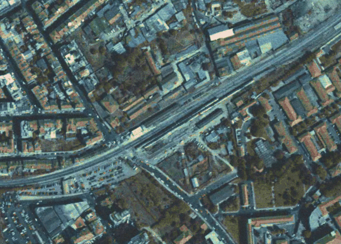
Português: Ortofotografia da Direção-Geral do Território que ilustra a situação da estação do Rego em 1995. |
| Date | |
| Source | https://www.dgterritorio.gov.pt/cartografia/cartografia-topografica/ortofotos |
| Author | Direção de Serviços de Geodesia, Cartografia e Informação Geográfica, Direção-Geral do Território. |
| Camera location | | View this and other nearby images on: OpenStreetMap |
|---|
Licensing[edit]

|
The copyright holder of this file allows anyone to use it for any purpose, provided that the copyright holder is properly attributed. Redistribution, derivative work, commercial use, and all other use is permitted. |
Attribution:
"Informação geográfica cedida pela Direção-Geral do Território"
|
 |
This image by the Directorate General for Territory of Portugal was extracted from a dataset categorized as open data. Attribution for items produced by the Directorate General for Territory, whether published or divulged by any medium, even when partially adapted, require the following attribution:The legal restrictions as of uploading were as follows (in portuguese):
|
File history
Click on a date/time to view the file as it appeared at that time.
| Date/Time | Thumbnail | Dimensions | User | Comment | |
|---|---|---|---|---|---|
| current | 01:38, 1 November 2020 | | 1,400 × 1,000 (1.47 MB) | Rúdisicyon (talk | contribs) | Uploaded a work by Direção de Serviços de Geodesia, Cartografia e Informação Geográfica, Direção-Geral do Território. from https://snig.dgterritorio.gov.pt/rndg/srv/por/catalog.search#/metadata/0275a79ac62a476aafc0ca8de27c53c6 https://www.dgterritorio.gov.pt/cartografia/cartografia-topografica/ortofotos with UploadWizard |
You cannot overwrite this file.
File usage on Commons
The following page uses this file:
File usage on other wikis
The following other wikis use this file:
- Usage on pt.wikipedia.org