File:España en el centro del mundo.jpg
Jump to navigation
Jump to search

Size of this preview: 600 × 600 pixels. Other resolutions: 240 × 240 pixels | 480 × 480 pixels | 933 × 933 pixels.
Original file (933 × 933 pixels, file size: 290 KB, MIME type: image/jpeg)
Captions
Captions
Add a one-line explanation of what this file represents
Summary
[edit]
| Description |
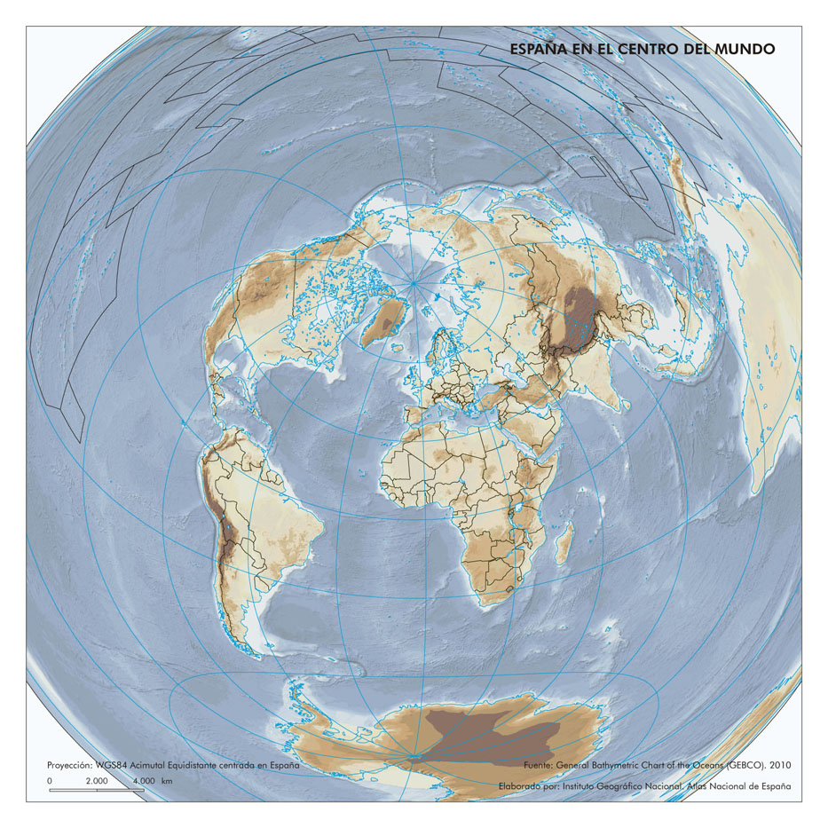
Español: Mapamundi azimutal con centro en España
English: Azimuthal world map centered in Spain |
||||||||||
| Date | |||||||||||
| Source | Atlas Nacional de España | ||||||||||
| Author |
|
||||||||||
| Permission (Reusing this file) |
This file is licensed under the Creative Commons Attribution 4.0 International license. Attribution: Instituto Geográfico Nacional (archived version)
|
||||||||||
Licensing
[edit]
This file is licensed under the Creative Commons Attribution 4.0 International license.
- You are free:
- to share – to copy, distribute and transmit the work
- to remix – to adapt the work
- Under the following conditions:
- attribution – You must give appropriate credit, provide a link to the license, and indicate if changes were made. You may do so in any reasonable manner, but not in any way that suggests the licensor endorses you or your use.
File history
Click on a date/time to view the file as it appeared at that time.
| Date/Time | Thumbnail | Dimensions | User | Comment | |
|---|---|---|---|---|---|
| current | 19:45, 13 November 2023 | | 933 × 933 (290 KB) | Universalis (talk | contribs) | Uploaded a work by Centro Nacional de Información Geográfica from Atlas Nacional de España with UploadWizard |
You cannot overwrite this file.
File usage on Commons
There are no pages that use this file.