File:Entering Oolah Valley. Gates of the Arctic National Park, Brooks Range mountains, Alaska - panoramio.jpg
Jump to navigation
Jump to search

Size of this preview: 800 × 400 pixels. Other resolutions: 320 × 160 pixels | 640 × 320 pixels | 1,024 × 512 pixels | 1,280 × 640 pixels | 2,560 × 1,280 pixels | 5,169 × 2,585 pixels.
Original file (5,169 × 2,585 pixels, file size: 9.67 MB, MIME type: image/jpeg)
Captions
Captions
Add a one-line explanation of what this file represents
Summary
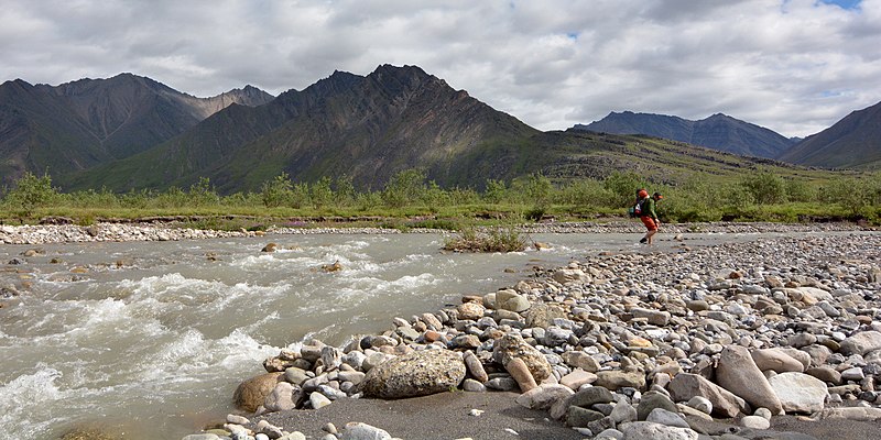
[edit]| Description | Entering Oolah Valley. Gates of the Arctic National Park, Brooks Range mountains, Alaska | ||
| Date | Taken on 25 July 2013 | ||
| Source | https://web.archive.org/web/20161029011027/http://www.panoramio.com/photo/97224944 | ||
| Author | Paxson Woelber | ||
| Permission (Reusing this file) |
This file is licensed under the Creative Commons Attribution 3.0 Unported license. Attribution: Paxson Woelber
|
||
| Tags (from Panoramio photo page) | North Slope, Alaska, Alaska Arctic, Alaska backcountry, Alaska backpacking, Alaska hiking, Alaska landscape, Alaska landscapes, Alaska river, Alaska wilderness, Arctic, backpacking, Backpacking in Gates of the Arctic, Brooks Range, Brooks range hiking, Brooks Range landscape, Brooks Range mountains, Expedition Arguk, Gates of the Arctic, hiking, landscape, Oolah Valley, Paxson Woelber, river crossing backpacking, river in Alaska |
| Camera location | | View this and other nearby images on: OpenStreetMap |
|---|

File history
Click on a date/time to view the file as it appeared at that time.
| Date/Time | Thumbnail | Dimensions | User | Comment | |
|---|---|---|---|---|---|
| current | 10:42, 10 March 2017 | | 5,169 × 2,585 (9.67 MB) | Panoramio upload bot (talk | contribs) | == {{int:filedesc}} == {{Information |description=Entering Oolah Valley. Gates of the Arctic National Park, Brooks Range mountains, Alaska |date={{Taken on|2013-07-25}} |source=http://www.panoramio.com/photo/97224944 |author=[http://www.panoramio.com/u... |
You cannot overwrite this file.
File usage on Commons
The following 2 pages use this file:
File usage on other wikis
The following other wikis use this file:
- Usage on arz.wikipedia.org
- Usage on ceb.wikipedia.org
- Usage on de.wikipedia.org
- Usage on en.wikipedia.org
- Usage on fr.wikipedia.org
- Usage on www.wikidata.org
- Usage on xmf.wikipedia.org