File:Entardecer em Ribeirão Preto visto da rodovia Abrão Assed, SP-333. As obras do Trevão de Ribeirão Preto estavam quase finalizadas. O "trevão de Ribeirão preto" é considerado o maior entroncame - panoramio.jpg
Jump to navigation
Jump to search

Size of this preview: 800 × 600 pixels. Other resolutions: 320 × 240 pixels | 640 × 480 pixels | 1,024 × 768 pixels | 1,280 × 960 pixels | 2,560 × 1,920 pixels | 4,608 × 3,456 pixels.
Original file (4,608 × 3,456 pixels, file size: 2.92 MB, MIME type: image/jpeg)
Captions
Captions
Add a one-line explanation of what this file represents
Summary[edit]
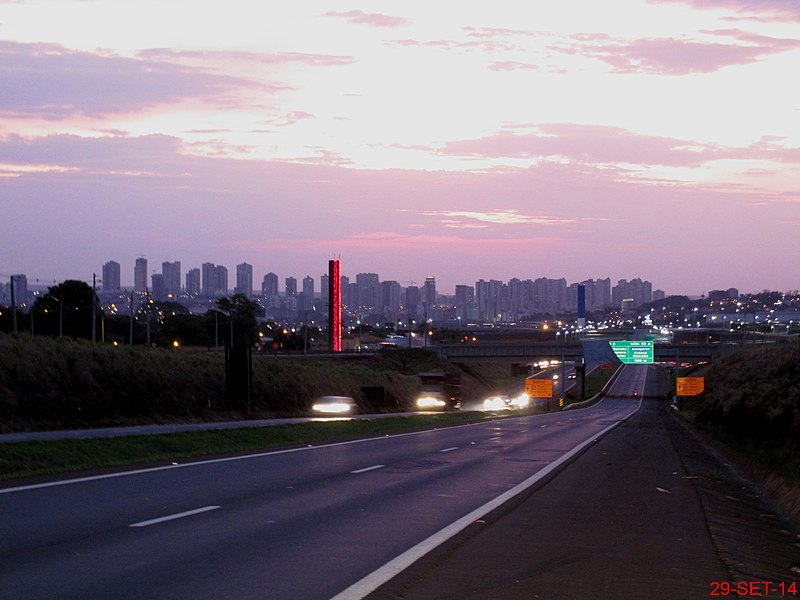
| Description | Entardecer em Ribeirão Preto visto da rodovia Abrão Assed, SP-333. As obras do Trevão de Ribeirão Preto estavam quase finalizadas. O "trevão de Ribeirão preto" é considerado o maior entroncamento viário do Brasil. Construída em 1972, a obsoleta rotatória foi modernizada 2014, com oito viadutos, 20 alças de acesso e retorno, incluindo passarela de pedestres. O Trevão Interliga 3 importantes rodovias e dá acesso ao Anel Viário de Ribeirão Preto. | ||
| Date | Taken on 29 September 2014 | ||
| Source | https://web.archive.org/web/20161102194001/http://www.panoramio.com/photo/116473967 | ||
| Author | MARCO AURÉLIO ESPARZ… | ||
| Permission (Reusing this file) |
This file is licensed under the Creative Commons Attribution-Share Alike 3.0 Unported license. Attribution: MARCO AURÉLIO ESPARZ…
|
||
| Panoramio Tags | Ribeirão Preto, best, Brasil, Brazil, Entardecer, Ribeirão Preto, Rodovia, SP-333, Trevo |
| Camera location | | View this and other nearby images on: OpenStreetMap |
|---|
File history
Click on a date/time to view the file as it appeared at that time.
| Date/Time | Thumbnail | Dimensions | User | Comment | |
|---|---|---|---|---|---|
| current | 20:36, 20 May 2017 | | 4,608 × 3,456 (2.92 MB) | Panoramio upload bot (talk | contribs) | == {{int:filedesc}} == {{Information |description=Entardecer em Ribeirão Preto visto da rodovia Abrão Assed, SP-333. As obras do Trevão de Ribeirão Preto estavam quase finalizadas. O "trevão de Ribeirão preto" é considerado o maior entroncamento... |
You cannot overwrite this file.
File usage on Commons
There are no pages that use this file.