File:Enfield Town map 1.png
Jump to navigation
Jump to search
No higher resolution available.
Enfield_Town_map_1.png (350 × 350 pixels, file size: 52 KB, MIME type: image/png)
Captions
Captions
Add a one-line explanation of what this file represents

|
This road map image could be re-created using vector graphics as an SVG file. This has several advantages; see Commons:Media for cleanup for more information. If an SVG form of this image is available, please upload it and afterwards replace this template with
{{vector version available|new image name}}.
It is recommended to name the SVG file “Enfield Town map 1.svg”—then the template Vector version available (or Vva) does not need the new image name parameter. |
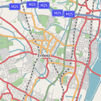
| Description | Map of Enfield Town |
| Date | |
| Source | OpenStreetMap |
| Author | Edward Betts |
| Permission (Reusing this file) |
This file is licensed under the Creative Commons Attribution-Share Alike 2.0 Generic license.
|
File history
Click on a date/time to view the file as it appeared at that time.
| Date/Time | Thumbnail | Dimensions | User | Comment | |
|---|---|---|---|---|---|
| current | 20:34, 24 February 2007 | | 350 × 350 (52 KB) | Edward (talk | contribs) | {{Information |Description=Map of w:Enfield Town |Source=OpenStreetMap |Date=2007-02-24 |Author=Edward Betts |Permission={{cc-by-sa-2.0}} }} Category:Maps of London Category:OpenStreetMap maps |
You cannot overwrite this file.
File usage on Commons
There are no pages that use this file.