File:East China Sea map with topography border.png
Jump to navigation
Jump to search
Size of this preview: 600 × 600 pixels. Other resolutions: 240 × 240 pixels | 480 × 480 pixels | 755 × 755 pixels.
Original file (755 × 755 pixels, file size: 520 KB, MIME type: image/png)
Captions
Captions
Add a one-line explanation of what this file represents
Summary[edit]
| Description |
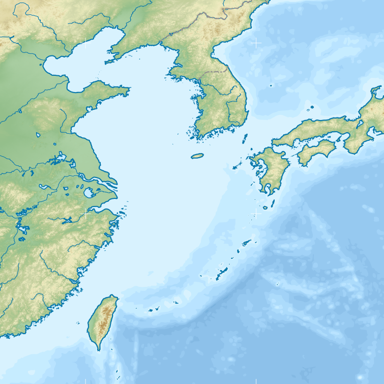
English: Equirectangular projection location map of the East China Sea.
Geographic limits of the map:
|
| Date | |
| Source | The image is a derivative work of File:Chinese history large - 51E146W, 14N52N-color topography & borders.png |
| Author | Original by : Yug (File:Chinese history large - 51E146W, 14N52N-color topography & borders.png), its derivative version by : Pekachu |
Licensing[edit]
This file is licensed under the Creative Commons Attribution-Share Alike 3.0 Unported license.
Attribution: Yug
- You are free:
- to share – to copy, distribute and transmit the work
- to remix – to adapt the work
- Under the following conditions:
- attribution – You must give appropriate credit, provide a link to the license, and indicate if changes were made. You may do so in any reasonable manner, but not in any way that suggests the licensor endorses you or your use.
- share alike – If you remix, transform, or build upon the material, you must distribute your contributions under the same or compatible license as the original.
File history
Click on a date/time to view the file as it appeared at that time.
| Date/Time | Thumbnail | Dimensions | User | Comment | |
|---|---|---|---|---|---|
| current | 10:54, 7 September 2017 | | 755 × 755 (520 KB) | Pekachu (talk | contribs) | color |
| 10:41, 7 September 2017 |  | 755 × 755 (253 KB) | Pekachu (talk | contribs) | User created page with UploadWizard |
You cannot overwrite this file.
File usage on Commons
The following 2 pages use this file:
File usage on other wikis
The following other wikis use this file:
- Usage on fr.wikipedia.org
- Usage on no.wikipedia.org
- Usage on uk.wikipedia.org
- Модуль:Location map/data/Східнокитайське море
- Модуль:Location map/data/Східно-Китайське море
- Модуль:Location map/data/Східнокитайське море/документація
- Модуль:Location map/data/Східно-Китайське море/документація
- USS Emmons (DD-457)
- Ісокадзе (1939)
- Касумі (1937)
- Уракадзе (1940)
- Хамакадзе (1940)
- Манадзуру (1934)
- Томодзуру
- Асасімо
- W-15
- W-41
- Usage on www.wikidata.org