File:EU outermost regions.svg
Jump to navigation
Jump to search

Size of this PNG preview of this SVG file: 800 × 406 pixels. Other resolutions: 320 × 162 pixels | 640 × 325 pixels | 1,024 × 520 pixels | 1,280 × 650 pixels | 2,560 × 1,299 pixels | 940 × 477 pixels.
Original file (SVG file, nominally 940 × 477 pixels, file size: 1.56 MB)
Captions
Captions
Add a one-line explanation of what this file represents
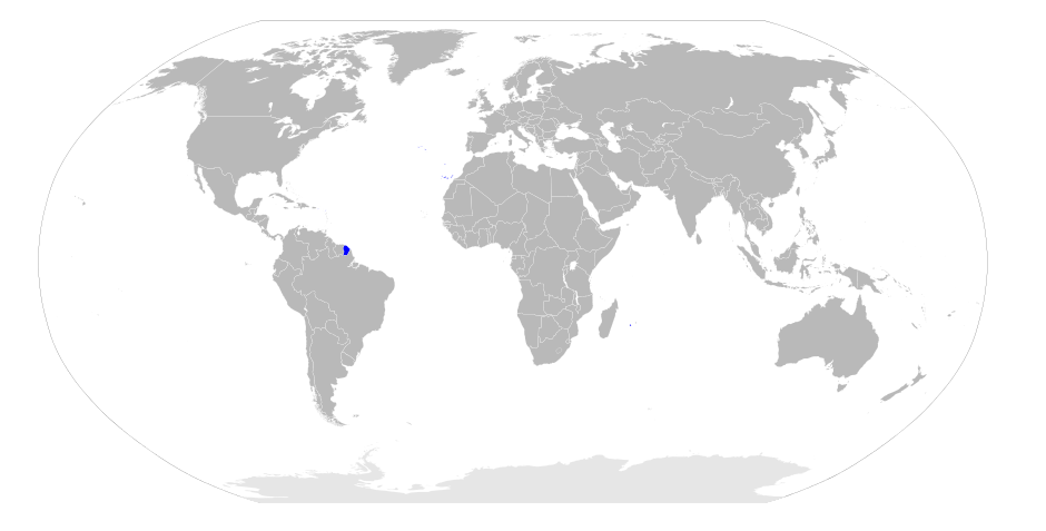
| Description | All Outermost Regions of European Union | ||
| Date | |||
| Source | blank world map | ||
| Author | RaviC | ||
| Permission (Reusing this file) |
I, the copyright holder of this work, hereby publish it under the following license:
|
||
| SVG development |
File history
Click on a date/time to view the file as it appeared at that time.
| Date/Time | Thumbnail | Dimensions | User | Comment | |
|---|---|---|---|---|---|
| current | 20:12, 17 October 2008 | | 940 × 477 (1.56 MB) | RaviC (talk | contribs) | {{Information |Description = All Outermost Regions of European Union |Source = blank world map |Date = 2008 |Author = RaviC |Permission = {{self|PD-self}} }} <!--{{ImageUpload|basic}}--> |
You cannot overwrite this file.
File usage on Commons
There are no pages that use this file.
File usage on other wikis
The following other wikis use this file:
- Usage on cs.wikipedia.org
- Usage on de.wikipedia.org
- Usage on en.wikipedia.org
- Usage on kn.wikipedia.org
- Usage on su.wikipedia.org
- Usage on ur.wikipedia.org
- Usage on zh.wikipedia.org