File:EB9 Aleutian Islands.jpg
Jump to navigation
Jump to search

Size of this preview: 800 × 277 pixels. Other resolutions: 320 × 111 pixels | 640 × 221 pixels | 1,619 × 560 pixels.
Original file (1,619 × 560 pixels, file size: 270 KB, MIME type: image/jpeg)
Captions
Captions
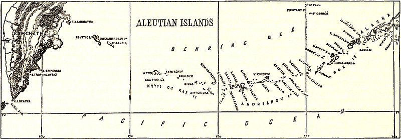
Map of the Aleutian Islands, c. 1878
Summary
[edit]| Description |
English: Map of the Aleutian Islands. |
|||
| Date | ||||
| Source | Encyclopædia Britannica, 9th ed., Vol. I, p. 480. | |||
| Author | Anonymous, but presumably engraved by either John Bartholomew & Son or William & Alexander Keith Johnston | |||
| Permission (Reusing this file) |
|

File history
Click on a date/time to view the file as it appeared at that time.
| Date/Time | Thumbnail | Dimensions | User | Comment | |
|---|---|---|---|---|---|
| current | 21:34, 18 January 2015 | 1,619 × 560 (270 KB) | Library Guy (talk | contribs) | {{Information |Description ={{en|1=Map of the Aleutian Islands.}} |Source =''Encyclopædia Britannica'', Ninth Edition, v. 1, 1878, p. 480. |Author =Thomas Spencer Baynes and William Robertson Smith (eds.) |Date =published... |
You cannot overwrite this file.
File usage on Commons
There are no pages that use this file.
File usage on other wikis
The following other wikis use this file:
- Usage on en.wikisource.org
- Usage on ka.wikipedia.org