File:Dune Near Sossusvlei - (greg-willis.com) - panoramio.jpg
Jump to navigation
Jump to search

Size of this preview: 400 × 600 pixels. Other resolutions: 160 × 240 pixels | 320 × 480 pixels | 667 × 1,000 pixels.
Original file (667 × 1,000 pixels, file size: 150 KB, MIME type: image/jpeg)
Captions
Captions
Add a one-line explanation of what this file represents
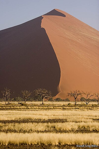
| Description | Dune Near Sossusvlei | ||
| Date | Taken on 2 October 2006 | ||
| Source | https://web.archive.org/web/20161010001702/http://www.panoramio.com/photo/189644 | ||
| Author | Greg Willis | ||
| Permission (Reusing this file) |
This file is licensed under the Creative Commons Attribution-Share Alike 3.0 Unported license. Attribution: Greg Willis
|
| Camera location | | View this and other nearby images on: OpenStreetMap |
|---|

_-_panoramio.jpg¶ms=-24.709667_N_0015.536833_E_globe:Earth_type:camera_source:Panoramio_&language=en)
_-_panoramio.jpg&action=edit&withJS=MediaWiki:Catcheck.js)
File history
Click on a date/time to view the file as it appeared at that time.
| Date/Time | Thumbnail | Dimensions | User | Comment | |
|---|---|---|---|---|---|
| current | 01:40, 27 October 2014 | | 667 × 1,000 (150 KB) | Panoramio upload bot (talk | contribs) | {{Information |description=Dune Near Sossusvlei - [greg-willis.com] |date={{Taken on|2006-10-02}} |source=http://www.panoramio.com/photo/189644 |author=[http://www.panoramio.com/user/34059?with_photo_id=189644 Greg Willis] |permission={{cc-by-sa-3.0|Gr... |
You cannot overwrite this file.
File usage on Commons
The following page uses this file:
_-_panoramio.jpg&oldid=647114514)