File:Drone panoramic view, GRACANICA 2 100 0221 DJI 0005.jpg
Jump to navigation
Jump to search
Size of this preview: 800 × 600 pixels. Other resolutions: 320 × 240 pixels | 640 × 480 pixels | 1,024 × 768 pixels | 1,280 × 960 pixels | 1,600 × 1,200 pixels.
Original file (1,600 × 1,200 pixels, file size: 780 KB, MIME type: image/jpeg)
Captions
Captions
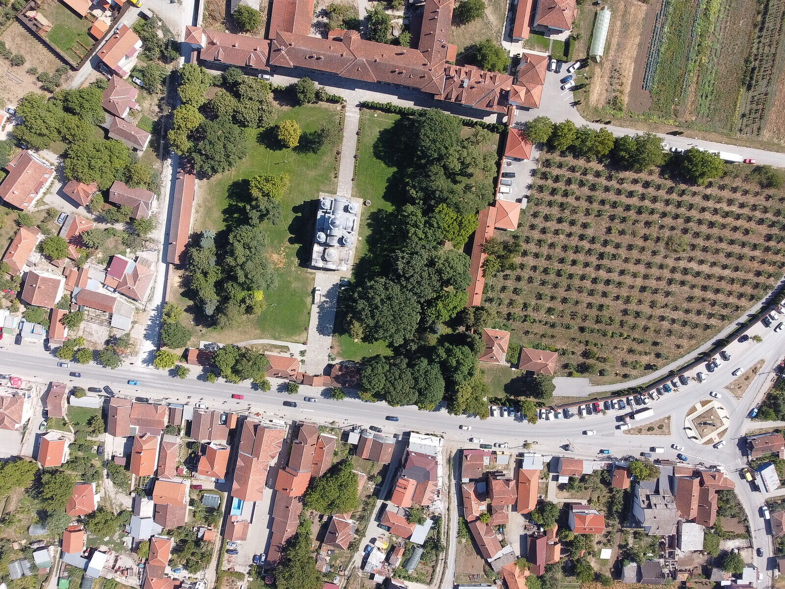
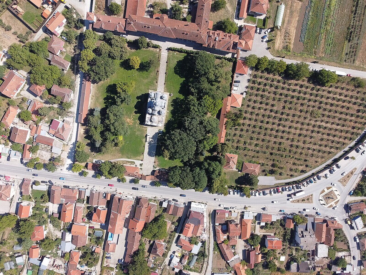
Drone panoramic view, Gracanica monastery
Summary[edit]
| Description |
English: Drone panoramic view, Gracanica monastery |
| Date | |
| Source | https://www.blagofund.org/Archives/Gracanica/ |
| Author | BLAGO Fund, Inc. |
| Camera location | | View this and other nearby images on: OpenStreetMap |
|---|
Licensing[edit]
This file is licensed under the Creative Commons Attribution 4.0 International license.
- You are free:
- to share – to copy, distribute and transmit the work
- to remix – to adapt the work
- Under the following conditions:
- attribution – You must give appropriate credit, provide a link to the license, and indicate if changes were made. You may do so in any reasonable manner, but not in any way that suggests the licensor endorses you or your use.
File history
Click on a date/time to view the file as it appeared at that time.
| Date/Time | Thumbnail | Dimensions | User | Comment | |
|---|---|---|---|---|---|
| current | 21:27, 8 December 2023 | | 1,600 × 1,200 (780 KB) | Nvukicevic (talk | contribs) | Uploaded a work by BLAGO Fund, Inc. from https://www.blagofund.org/Archives/Gracanica/ with UploadWizard |
You cannot overwrite this file.
File usage on Commons
There are no pages that use this file.
File usage on other wikis
The following other wikis use this file:
- Usage on sr.wikipedia.org