File:Dolomiti Ampezzane Boite River Path.png
Jump to navigation
Jump to search

Size of this preview: 800 × 474 pixels. Other resolutions: 320 × 190 pixels | 640 × 379 pixels | 974 × 577 pixels.
Original file (974 × 577 pixels, file size: 434 KB, MIME type: image/png)
Captions
Captions
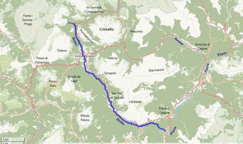
The path of the Boite River through the Ampezzo Dolomites
Summary[edit]
| Description |
English: The path of the Boite River through the Ampezzo Dolomites
Magyar: A Boite folyó nyomvonala az Ampezzói Dolomitokon keresztül
Deutsch: Trasse des Flusses Boite durch den Ampezzaner Dolomiten |
| Date | |
| Source | https://www.openstreetmap.org/relation/2220828 |
| Author | original map by OpenStreetMap users, additions by uploader |
Licensing[edit]
| Description |
This map was created from OpenStreetMap project data, collected by the community. This map may be incomplete, and may contain errors. Don't rely solely on it for navigation. |
|||
| Date | (see file history) | |||
| Source | openstreetmap.org | |||
| Creator |
OpenStreetMap contributors |
|||
| Permission (Reusing this file) |
OpenStreetMap data is available under the Open Database License (details). Map tiles are licensed under the Creative Commons Attribution-ShareAlike 2.0 license (CC-BY-SA 2.0).
This file is licensed under the Creative Commons Attribution-Share Alike 2.0 Generic license.
|
|||
| Georeferencing | If inappropriate please set warp_status = skip to hide. |
File history
Click on a date/time to view the file as it appeared at that time.
| Date/Time | Thumbnail | Dimensions | User | Comment | |
|---|---|---|---|---|---|
| current | 21:51, 25 January 2020 | | 974 × 577 (434 KB) | Akela (talk | contribs) | add geographical data, names, etc |
| 20:41, 25 January 2020 |  | 974 × 577 (432 KB) | Akela (talk | contribs) | User created page with UploadWizard |
You cannot overwrite this file.
File usage on Commons
The following 3 pages use this file:
File usage on other wikis
The following other wikis use this file:
- Usage on de.wikipedia.org
- Usage on fr.wikipedia.org
- Usage on hu.wikipedia.org
- Usage on it.wikipedia.org
- Usage on no.wikipedia.org
- Usage on www.wikidata.org