File:Czersk (gmina) location map.png
Jump to navigation
Jump to search

Size of this preview: 681 × 599 pixels. Other resolutions: 273 × 240 pixels | 545 × 480 pixels | 872 × 768 pixels | 1,163 × 1,024 pixels | 1,462 × 1,287 pixels.
Original file (1,462 × 1,287 pixels, file size: 160 KB, MIME type: image/png)
Captions
Captions
Add a one-line explanation of what this file represents
| Description |
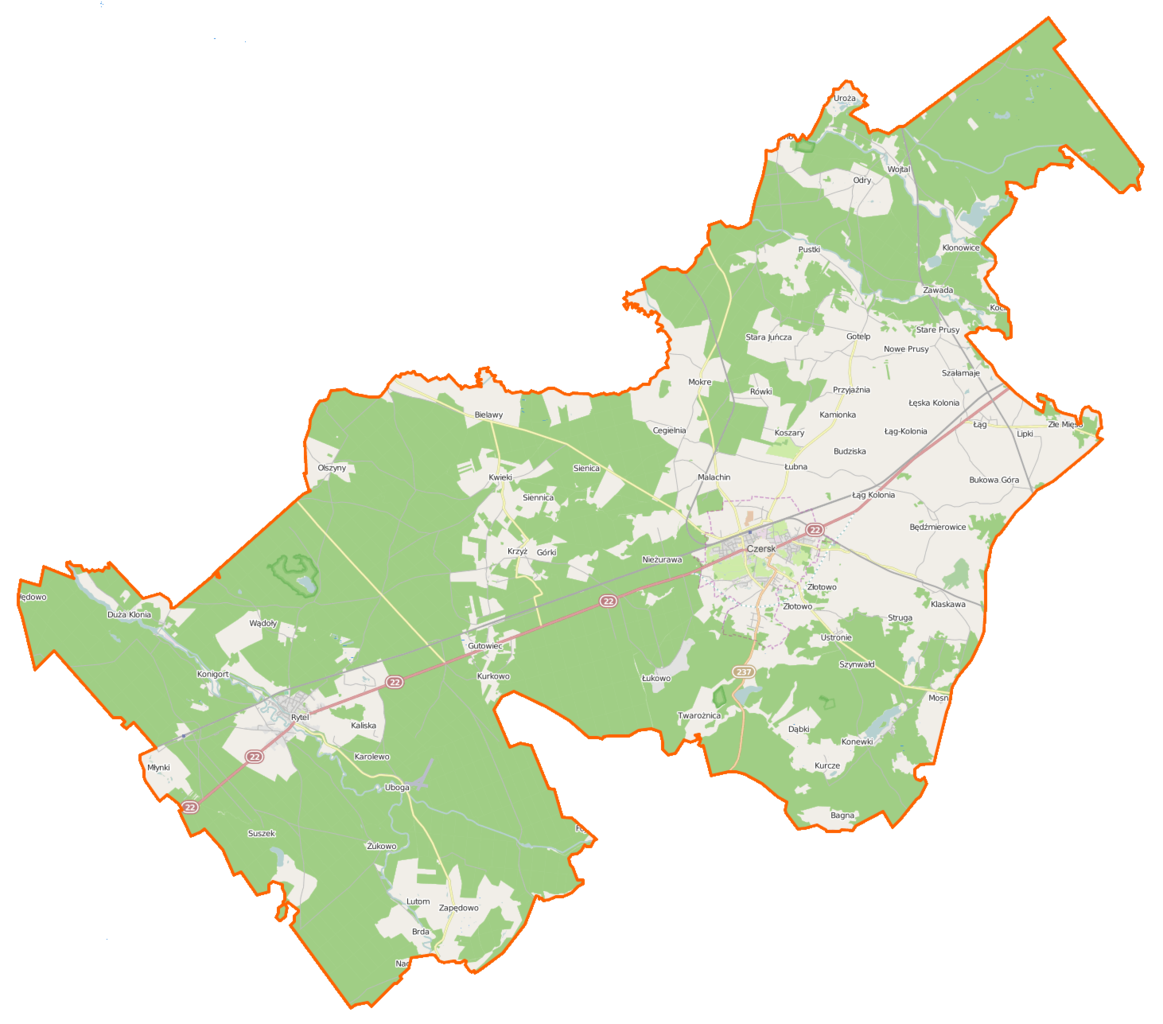
Polski: Mapa gminy Czersk, Polska
English: Map of Gmina Czersk, Poland |
|||||||||
| Date | ||||||||||
| Source | You may find a page on the OpenStreetMap wiki page for Czersk (gmina) | |||||||||
| Creator |
OpenStreetMap contributors OpenStreetMap contributors |
|||||||||
| Permission (Reusing this file) |
OpenStreetMap data is available under the Open Database License (details). Map tiles are licensed under the Creative Commons Attribution-ShareAlike 2.0 license (CC-BY-SA 2.0).
This file is licensed under the Creative Commons Attribution-Share Alike 2.0 Generic license.
|
|||||||||
| Geotemporal data | ||||||||||
| Bounding box |
|
|||||||||
| Georeferencing | If inappropriate please set warp_status = skip to hide. | |||||||||
File history
Click on a date/time to view the file as it appeared at that time.
| Date/Time | Thumbnail | Dimensions | User | Comment | |
|---|---|---|---|---|---|
| current | 07:07, 14 January 2015 | | 1,462 × 1,287 (160 KB) | VanWiel (talk | contribs) | {{OpenStreetMap | name = Czersk (gmina) | location = Czersk (gmina) | description = {{pl|Mapa gminy Czersk, Polska}} {{en|Map of Gmina Czersk, Poland}} | top = 53.9357 | bottom = 53.6747 | left... |
You cannot overwrite this file.
File usage on Commons
There are no pages that use this file.
File usage on other wikis
The following other wikis use this file:
- Usage on be.wikipedia.org
- Usage on fr.wikipedia.org
- Badzianko
- Bagna (Poméranie)
- Będźmierowice
- Bielawy (Chojnice)
- Błoto (Poméranie)
- Brda (Poméranie)
- Budziska (Poméranie)
- Bukowa Góra (Chojnice)
- Cegielnia (Chojnice)
- Czerska Struga
- Dąbki (Chojnice)
- Duża Klonia
- Duże Wędoły
- Gartki
- Gotelp
- Gutowiec
- Jeziórko (Poméranie)
- Kaliska (Chojnice)
- Kameron
- Kamionka (Czersk)
- Karolewo (Czersk)
- Kęsza
- Klaskawa
- Kłodnia
- Klonowice
- Konewki
- Konigort
- Konigórtek
- Koślinka (Chojnice)
- Kosowa Niwa
- Koszary (Poméranie)
- Krzyż (Poméranie)
- Kurcze
- Kurkowo (Poméranie)
- Kwieki
- Łąg
- Lipki (Chojnice)
- Listewka
- Łubna (Poméranie)
- Łukowo (Poméranie)
- Lutom (Poméranie)
- Lutomski Most
- Mała Klonia (Poméranie)
- Malachin
- Małe Wędoły
- Młynki (Chojnice)
- Modrzejewo (Chojnice)
- Mokre (Chojnice)
- Mosna (Pologne)
View more global usage of this file.
_location_map.png)
_location_map.png&oldid=872548168)