File:Cyprus geomorphologic.jpg
Jump to navigation
Jump to search

Size of this preview: 800 × 481 pixels. Other resolutions: 320 × 193 pixels | 640 × 385 pixels | 1,024 × 616 pixels | 1,280 × 770 pixels | 2,560 × 1,540 pixels | 9,458 × 5,690 pixels.
Original file (9,458 × 5,690 pixels, file size: 12.8 MB, MIME type: image/jpeg)
Captions
Captions
Add a one-line explanation of what this file represents
| Warning | The original file is very high-resolution. It might not load properly or could cause your browser to freeze when opened at full size. |
|---|
Summary
[edit]
| Description |
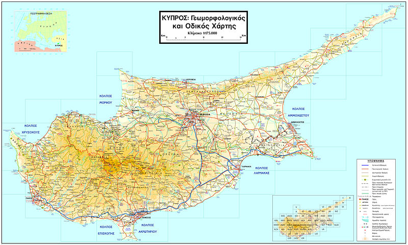
Ελληνικά: Πλήρης γεωμορφολογικός και οδικός χάρτης της Κύπρου
|
| Date | |
| Source |
Own work
|
| Author | Αλέξανδρος-Μιχαήλ Χατζηλύρας |
Licensing
[edit]
I, the copyright holder of this work, hereby publish it under the following license:
This file is licensed under the Creative Commons Attribution 3.0 Unported license.
- You are free:
- to share – to copy, distribute and transmit the work
- to remix – to adapt the work
- Under the following conditions:
- attribution – You must give appropriate credit, provide a link to the license, and indicate if changes were made. You may do so in any reasonable manner, but not in any way that suggests the licensor endorses you or your use.
File history
Click on a date/time to view the file as it appeared at that time.
| Date/Time | Thumbnail | Dimensions | User | Comment | |
|---|---|---|---|---|---|
| current | 08:58, 8 November 2009 | | 9,458 × 5,690 (12.8 MB) | NeoCy (talk | contribs) | {{Information |Description={{el|1=Πλήρης γεωμορφολογικός και οδικός χάρτης της Κύπρου}} |Source={{own}} |Author=Αλέξανδρος-Μιχαήλ Χατζηλύρας |Date=2009-10-04 |Permission |
You cannot overwrite this file.
File usage on Commons
There are no pages that use this file.
File usage on other wikis
The following other wikis use this file:
- Usage on el.wikipedia.org