File:Cuenca-125-B.svg

Original file (SVG file, nominally 2,204 × 1,078 pixels, file size: 2.46 MB)
Captions
Captions
Summary[edit]
| Description |
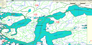
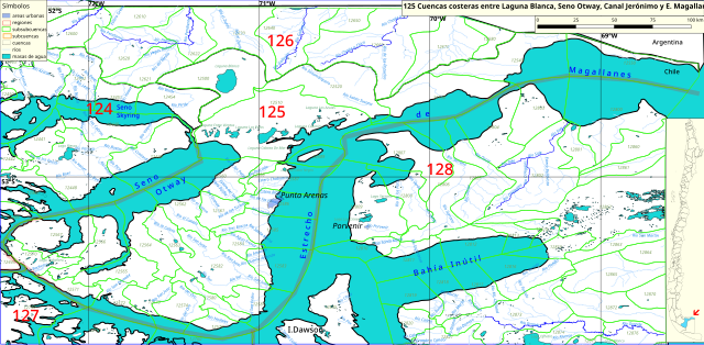
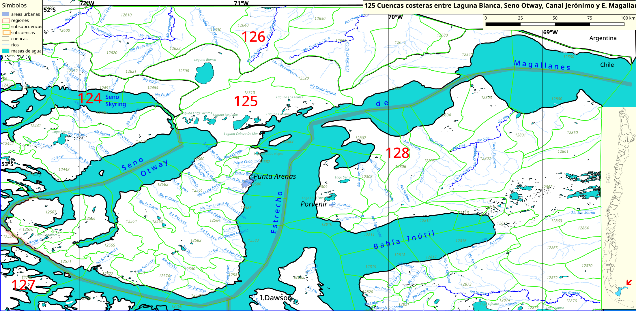
Español: Cuenca 125 (P. Brunswick y costa noreste del Estrecho de Magallanes) del inventario de cuencas de Chile.
Este mapa se elaboró con información extraída de:
Donde BNC, MMA y cedeus significan:
Los datos fueron procesados con QGIS version 2.18.17, exportados al formato SVG con las opciones "render map labels as outlines" desconectada pero "export map layers as svg groups" conectada. Con Inkscape 0.92 se eliminó la excesiva repetición de nombres, los nombres fueron colocados paralelos a los ríos o lagos y en lugares más visibles. Nombres y números que el editor no pudo asociar a objeto alguno fueron borrados. Finalmente se redujo el volumen de datos por medio de svgo (svg-optimizer). |
| Date | |
| Source | Own work |
| Author | Juan Villalobos |
| Other versions | File:Cuenca-125.svg |
| SVG development |
Licensing[edit]
- You are free:
- to share – to copy, distribute and transmit the work
- to remix – to adapt the work
- Under the following conditions:
- attribution – You must give appropriate credit, provide a link to the license, and indicate if changes were made. You may do so in any reasonable manner, but not in any way that suggests the licensor endorses you or your use.
- share alike – If you remix, transform, or build upon the material, you must distribute your contributions under the same or compatible license as the original.
File history
Click on a date/time to view the file as it appeared at that time.
| Date/Time | Thumbnail | Dimensions | User | Comment | |
|---|---|---|---|---|---|
| current | 19:30, 8 June 2019 | | 2,204 × 1,078 (2.46 MB) | Juan Villalobos (talk | contribs) | svgcleaner, nuevo cuadrante para colorear el mar. |
| 19:41, 2 March 2019 |  | 2,351 × 1,150 (2.83 MB) | Juan Villalobos (talk | contribs) | User created page with UploadWizard |
You cannot overwrite this file.
File usage on Commons
There are no pages that use this file.
File usage on other wikis
The following other wikis use this file:
- Usage on es.wikipedia.org
- Río Las Minas
- Categoría:Cuencas costeras entre Laguna Blanca, Seno Otway, Canal Jerónimo y E. Magallanes (125)
- Río San Juan de la Posesión
- Laguna Blanca (Magallanes)
- Humedal Tres Puentes
- Laguna Parrillar
- Río Grande (Steinman)
- Río del Oro (Bahía Snug)
- Lago Caballero
- Río El Canelo
- Río Santa Susana
- Laguna El Toro
- Laguna Cabeza de Mar
- Laguna Los Palos
- Laguna Palomares
- Laguna Casimiro
- Laguna Entre Vientos
- Laguna Baja (Pecket)
- Cuencas costeras entre laguna Blanca, seno Otway, canal Jerónimo y estrecho Magallanes
- Río La Caleta
- Laguna Lynch
- Laguna Cabo Negro
- Río Batchelor
- Usage on www.wikidata.org