File:Cross fields Right of Way - geograph.org.uk - 1758057.jpg
Jump to navigation
Jump to search
Size of this preview: 450 × 600 pixels. Other resolutions: 180 × 240 pixels | 360 × 480 pixels | 768 × 1,024 pixels.
Original file (768 × 1,024 pixels, file size: 163 KB, MIME type: image/jpeg)
Captions
Captions
Add a one-line explanation of what this file represents
Summary
[edit]| Description |
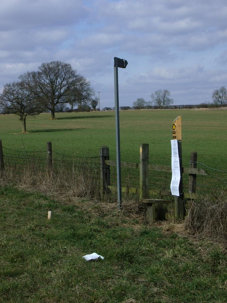
English: Cross fields Right of Way New and old footpath signs on Shawell Lane, just north of M6. Footpath crosses diagonally north-west, across several fields on it's route towards Shawell.
This site is part of M1 Junction 19 improvements - a new road is planned to run east alongside M6. |
| Date | |
| Source | From geograph.org.uk |
| Author | Michael Westley |
| Attribution (required by the license) | Michael Westley / Cross fields Right of Way / |
| Camera location | | View this and other nearby images on: OpenStreetMap |
|---|
| Object location | | View this and other nearby images on: OpenStreetMap |
|---|
Licensing
[edit]
|
This image was taken from the Geograph project collection. See this photograph's page on the Geograph website for the photographer's contact details. The copyright on this image is owned by Michael Westley and is licensed for reuse under the Creative Commons Attribution-ShareAlike 2.0 license.
|
This file is licensed under the Creative Commons Attribution-Share Alike 2.0 Generic license.
Attribution: Michael Westley
- You are free:
- to share – to copy, distribute and transmit the work
- to remix – to adapt the work
- Under the following conditions:
- attribution – You must give appropriate credit, provide a link to the license, and indicate if changes were made. You may do so in any reasonable manner, but not in any way that suggests the licensor endorses you or your use.
- share alike – If you remix, transform, or build upon the material, you must distribute your contributions under the same or compatible license as the original.

_heading:0.00&language=en)
_heading:0.00&language=en)
File history
Click on a date/time to view the file as it appeared at that time.
| Date/Time | Thumbnail | Dimensions | User | Comment | |
|---|---|---|---|---|---|
| current | 22:28, 5 March 2011 | | 768 × 1,024 (163 KB) | GeographBot (talk | contribs) | == {{int:filedesc}} == {{Information |description={{en|1=Cross fields Right of Way New and old footpath signs on Shawell Lane, just north of M6. Footpath crosses diagonally north-west, across several fields on it's route towards Shawell. This site is |
You cannot overwrite this file.
File usage on Commons
There are no pages that use this file.