File:Creek Turnpike.svg
Jump to navigation
Jump to search

Size of this PNG preview of this SVG file: 600 × 600 pixels. Other resolutions: 240 × 240 pixels | 480 × 480 pixels | 768 × 768 pixels | 1,024 × 1,024 pixels | 2,048 × 2,048 pixels.
Original file (SVG file, nominally 600 × 600 pixels, file size: 15 KB)
Captions
Captions
Add a one-line explanation of what this file represents
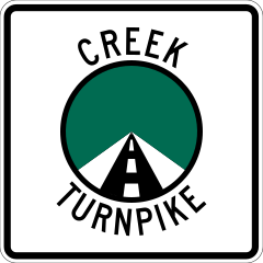
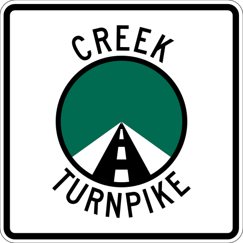
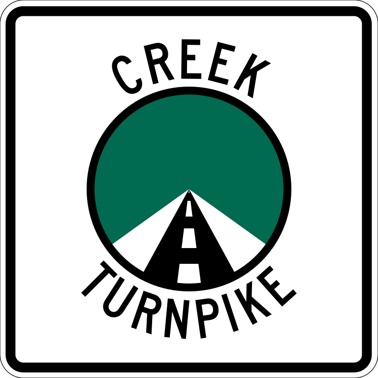
| Description | A Creek Turnpike shield, based on [1] |
| Date | |
| Source | Made by user, based on File:Chickasaw Turnpike.svg |
| Author | Scott Nazelrod |
| Permission (Reusing this file) |
Ineligible for copyright due to simplicity |
![[1]](http://www.alpsroads.net/roads/ok/musk/ecreek.jpg)
| This image of simple geometry is ineligible for copyright and therefore in the public domain, because it consists entirely of information that is common property and contains no original authorship. |  |
File history
Click on a date/time to view the file as it appeared at that time.
| Date/Time | Thumbnail | Dimensions | User | Comment | |
|---|---|---|---|---|---|
| current | 06:36, 27 June 2013 | | 600 × 600 (15 KB) | Fredddie (talk | contribs) | to spec |
| 08:34, 23 June 2013 |  | 385 × 385 (16 KB) | Scott5114 (talk | contribs) | {{Information |Description=A Creek Turnpike shield, based on [http://www.alpsroads.net/roads/ok/musk/ecreek.jpg] |Source=Made by user, based on File:Chickasaw turnpike logo.svg |Date=March 12, 2013 |Author=Scott Nazelrod |Pe... |
You cannot overwrite this file.
File usage on Commons
The following 2 pages use this file:
File usage on other wikis
The following other wikis use this file:
- Usage on en.wikipedia.org
- Tulsa County, Oklahoma
- Turner Turnpike
- Will Rogers Turnpike
- Oklahoma State Highway 66
- Oklahoma State Highway 51
- Muskogee Turnpike
- Creek Turnpike
- List of toll roads in the United States
- Interstate 44 in Oklahoma
- Wikipedia:WikiProject U.S. Roads/Shields task force/Database/toll roads
- List of highways numbered 364
- U.S. Route 169 in Oklahoma
- U.S. Route 412 in Oklahoma
- U.S. Route 75 in Oklahoma
- U.S. Route 64 in Oklahoma
- U.S. Route 75 Alternate (Beggs–Sapulpa, Oklahoma)
- Wikipedia:Today's featured article/August 2014
- Wikipedia:Today's featured article/August 28, 2014
- Wikipedia:Main Page history/2014 August 28
- Wikipedia talk:WikiProject U.S. Roads/Archive 24
- Usage on en.wikivoyage.org
- Usage on fr.wikipedia.org
- Usage on id.wikipedia.org
- Usage on www.wikidata.org