File:Crater Rim Historic District. Rock cuts in the dark volcanic rock to the west of the park headquarters are designed to look like (c9af7a8e-0ea4-2b27-2e9e-70358d4fbb0c).JPG
Jump to navigation
Jump to search
Size of this preview: 800 × 600 pixels. Other resolutions: 320 × 240 pixels | 640 × 480 pixels | 1,024 × 768 pixels | 1,280 × 960 pixels | 2,272 × 1,704 pixels.
Original file (2,272 × 1,704 pixels, file size: 1.37 MB, MIME type: image/jpeg)
Captions
Captions
Add a one-line explanation of what this file represents

|
The categories of this image need checking. You can do so here.
|
.JPG&action=edit&withJS=MediaWiki:Catcheck.js)
Summary[edit]
.JPG&action=edit§ion=1)
| English: Naturalistic Road Design | ||||
|---|---|---|---|---|
| Photographer |
English: NPS |
|||
| Title |
English: Naturalistic Road Design |
|||
| Publisher |
English: U.S. National Park Service |
|||
| Description |
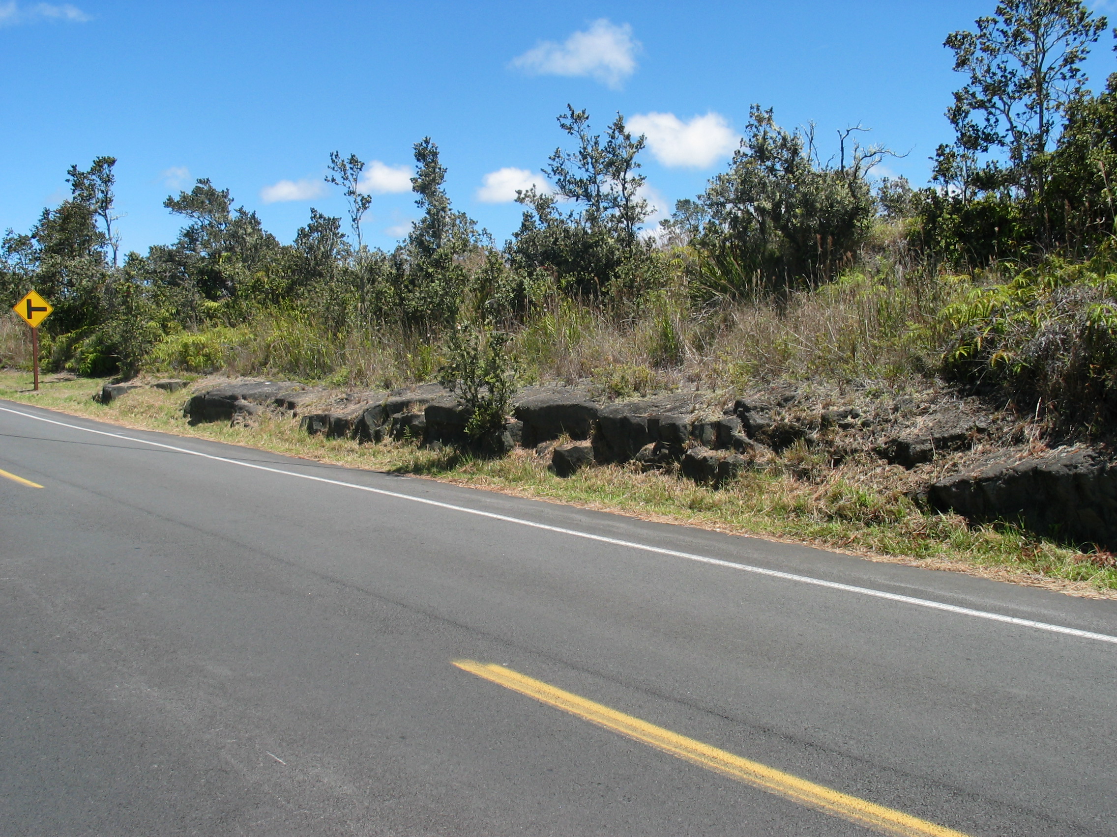
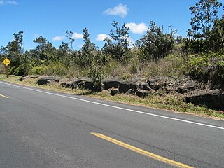
English: A smoothly paved road passes beside natural-looking rock outcroppings and low trees. Crater Rim Historic District. Rock cuts in the dark volcanic rock to the west of the park headquarters are designed to look like natural rock outcroppings. Rock cuts vary in character along the road's length depending on the nature of the lava through which they cut, revealing the varying natural rock formations. In some places, they appear to be made of large stone blocks.
|
|||
| Depicted place |
English: 19.43064, -155.26003; Hawaii Volcanoes National Park, Hawaii County, Hawaii; Latitude: 19.3775997161865, Longitude: -155.602996826172 |
|||
| Date | Taken on 19 June 2005 | |||
| Accession number | ||||
| Source |
English: NPGallery |
|||
| Permission (Reusing this file) |
|
|||
| NPS Unit Code | HAVO | |||
| Album(s) | English: Crater Rim Historic District |
|||
File history
Click on a date/time to view the file as it appeared at that time.
| Date/Time | Thumbnail | Dimensions | User | Comment | |
|---|---|---|---|---|---|
| current | 03:42, 15 May 2024 | | 2,272 × 1,704 (1.37 MB) | BMacZeroBot (talk | contribs) | Batch upload (Commons:Batch uploading/NPGallery) |
You cannot overwrite this file.
File usage on Commons
The following page uses this file:
.JPG&oldid=876499096)