File:Copt Gilder - geograph.org.uk - 1692304.jpg
Jump to navigation
Jump to search

Size of this preview: 797 × 600 pixels. Other resolutions: 319 × 240 pixels | 638 × 480 pixels | 1,020 × 768 pixels | 1,280 × 964 pixels | 2,560 × 1,927 pixels | 2,848 × 2,144 pixels.
Original file (2,848 × 2,144 pixels, file size: 1.52 MB, MIME type: image/jpeg)
Captions
Captions
Add a one-line explanation of what this file represents
Summary[edit]
| Description |
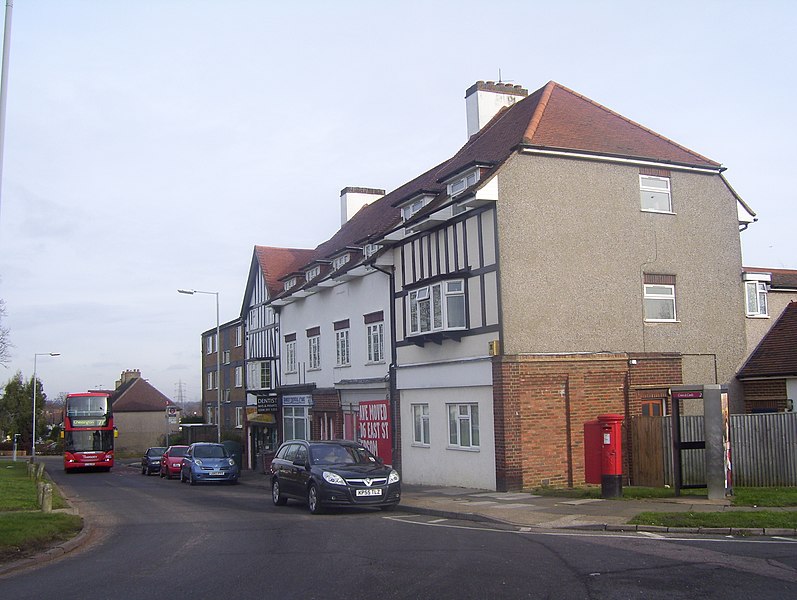
English: Copt Gilder The building shown previously housed a row of shops. |
| Date | |
| Source | From geograph.org.uk |
| Author | peter clayton |
| Attribution (required by the license) | peter clayton / Copt Gilder / |
| Camera location | | View this and other nearby images on: OpenStreetMap |
|---|
_heading:67.00&language=en)
| Object location | | View this and other nearby images on: OpenStreetMap |
|---|
_heading:67.00&language=en)
Licensing[edit]

|
This image was taken from the Geograph project collection. See this photograph's page on the Geograph website for the photographer's contact details. The copyright on this image is owned by peter clayton and is licensed for reuse under the Creative Commons Attribution-ShareAlike 2.0 license.
|
This file is licensed under the Creative Commons Attribution-Share Alike 2.0 Generic license.
Attribution: peter clayton
- You are free:
- to share – to copy, distribute and transmit the work
- to remix – to adapt the work
- Under the following conditions:
- attribution – You must give appropriate credit, provide a link to the license, and indicate if changes were made. You may do so in any reasonable manner, but not in any way that suggests the licensor endorses you or your use.
- share alike – If you remix, transform, or build upon the material, you must distribute your contributions under the same or compatible license as the original.
File history
Click on a date/time to view the file as it appeared at that time.
| Date/Time | Thumbnail | Dimensions | User | Comment | |
|---|---|---|---|---|---|
| current | 02:53, 5 March 2011 | | 2,848 × 2,144 (1.52 MB) | GeographBot (talk | contribs) | == {{int:filedesc}} == {{Information |description={{en|1=Copt Gilder The building shown previously housed a row of shops.}} |date=2010-01-31 |source=From [http://www.geograph.org.uk/photo/1692304 geograph.org.uk] |author=[http://www.geograph.org.uk/profil |
You cannot overwrite this file.
File usage on Commons
There are no pages that use this file.
Metadata
Categories:
- Shops in the Royal Borough of Kingston upon Thames
- Telephone boxes in the Royal Borough of Kingston upon Thames
- Post boxes in the Royal Borough of Kingston upon Thames
- Bus stops in the Royal Borough of Kingston upon Thames
- Buses in the Royal Borough of Kingston upon Thames
- Urban decay in London
- London buses on route 71
- 2010 in the Royal Borough of Kingston upon Thames
- Buses in London photographed in 2010