File:Mapa de la Confederación Granadina (1858).jpg
(Redirected from File:Confederacion Granadina 1858.jpg)

Size of this preview: 729 × 599 pixels. Other resolutions: 292 × 240 pixels | 584 × 480 pixels | 934 × 768 pixels | 1,246 × 1,024 pixels | 2,287 × 1,880 pixels.
Original file (2,287 × 1,880 pixels, file size: 1.29 MB, MIME type: image/jpeg)
Captions
Captions
Add a one-line explanation of what this file represents
Summary
[edit].jpg&action=edit§ion=1)
| Description |
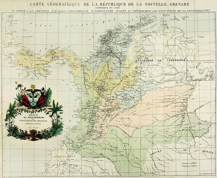
Français : Carte Geographique de la Confédération Grenadine (Amérique du Sud) ; pour servir a la création d' écoles industrielle d'agriculture d'arts et métiers dans les huit états de la Confederation. |
| Date | |
| Source |
http://www.banrepcultural.org/blaavirtual/historia/galeria/1445.htm http://banrepcultural.org/blaavirtual/cartografia/carte-geographique-de-la-republique-de-la-nouvelle-granade-2 |
| Author | Joaquin Acosta |
Licensing
[edit].jpg&action=edit§ion=2)
|
This work is in the public domain in its country of origin and other countries and areas where the copyright term is the author's life plus 100 years or fewer. | |
| This file has been identified as being free of known restrictions under copyright law, including all related and neighboring rights. | |
File history
Click on a date/time to view the file as it appeared at that time.
| Date/Time | Thumbnail | Dimensions | User | Comment | |
|---|---|---|---|---|---|
| current | 16:20, 28 September 2012 | | 2,287 × 1,880 (1.29 MB) | Milenioscuro (talk | contribs) | bigger |
| 22:07, 26 September 2011 |  | 683 × 522 (148 KB) | Milenioscuro (talk | contribs) | {{Information |Description ={{fr|1=Carte Geographique de la Confédération Grenadine (Amérique du Sud) ; pour servir a la création d' écoles industrielle d'agriculture d'arts et métiers dans les huit états de la Confederation.}} |Source = |
You cannot overwrite this file.
File usage on Commons
The following 3 pages use this file:
File usage on other wikis
The following other wikis use this file:
- Usage on en.wikipedia.org
- Usage on es.wikipedia.org
- Usage on eu.wikipedia.org
- Usage on fr.wikipedia.org
- Usage on it.wikipedia.org
- Usage on ru.wikipedia.org
- Usage on sv.wikipedia.org
- Usage on www.wikidata.org
.jpg&oldid=489495060)