File:Composite. Europaischen Russland. 1855. (B).jpg
Jump to navigation
Jump to search

Size of this preview: 800 × 537 pixels. Other resolutions: 320 × 215 pixels | 640 × 430 pixels | 934 × 627 pixels.
Original file (934 × 627 pixels, file size: 276 KB, MIME type: image/jpeg)
Captions
Captions
Add a one-line explanation of what this file represents
Summary[edit]
| Description |
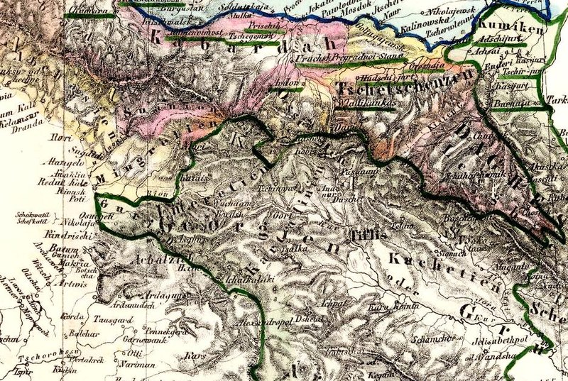
Deutsch: (Composite of) General Karte von Europaischen Russland und den kaukasischen Landern; nach den neuesten und besten Quellen entworfen und gezeichnet von F. Handtke. (in margin:) Russland. Druck und Verlag von C. Flemming in Glogau. (1855) |
||||||||||||||||||||||||||
| Date | |||||||||||||||||||||||||||
| Source |
|
||||||||||||||||||||||||||
| Author |
Flemming, Carl; Handtke, Friedrich H
|
||||||||||||||||||||||||||


.jpg&action=edit§ion=1)
Licensing[edit]
.jpg&action=edit§ion=2)
|
This is a faithful photographic reproduction of a two-dimensional, public domain work of art. The work of art itself is in the public domain for the following reason:
The official position taken by the Wikimedia Foundation is that "faithful reproductions of two-dimensional public domain works of art are public domain".
This photographic reproduction is therefore also considered to be in the public domain in the United States. In other jurisdictions, re-use of this content may be restricted; see Reuse of PD-Art photographs for details. | ||||
| Annotations | This image is annotated: View the annotations at Commons |
.jpg)
File history
Click on a date/time to view the file as it appeared at that time.
| Date/Time | Thumbnail | Dimensions | User | Comment | |
|---|---|---|---|---|---|
| current | 06:01, 21 August 2010 | | 934 × 627 (276 KB) | Geagea (talk | contribs) |
You cannot overwrite this file.
File usage on Commons
The following page uses this file:
Metadata
.jpg&oldid=866795110)
Categories:
- Maps by Heinrich Berghaus
- 1850s maps of the Caucasus
- Old maps of Kabarda
- 1850s maps of Abkhazia
- 1850s maps of Georgia
- Old maps of Samegrelo
- David Rumsey Historical Map Collection
- 19th-century maps of Dagestan
- 1850s maps of Chechnya
- Verlag Carl Flemming, Glogau
- Maps by Friedrich Handtke
- Details of old maps, defaced