File:Comarques de les Terres de l'Ebre.svg
Jump to navigation
Jump to search

Size of this PNG preview of this SVG file: 175 × 258 pixels. Other resolutions: 163 × 240 pixels | 325 × 480 pixels | 521 × 768 pixels | 694 × 1,024 pixels | 1,389 × 2,048 pixels.
Original file (SVG file, nominally 175 × 258 pixels, file size: 84 KB)
Captions
Captions
Add a one-line explanation of what this file represents
| Description |
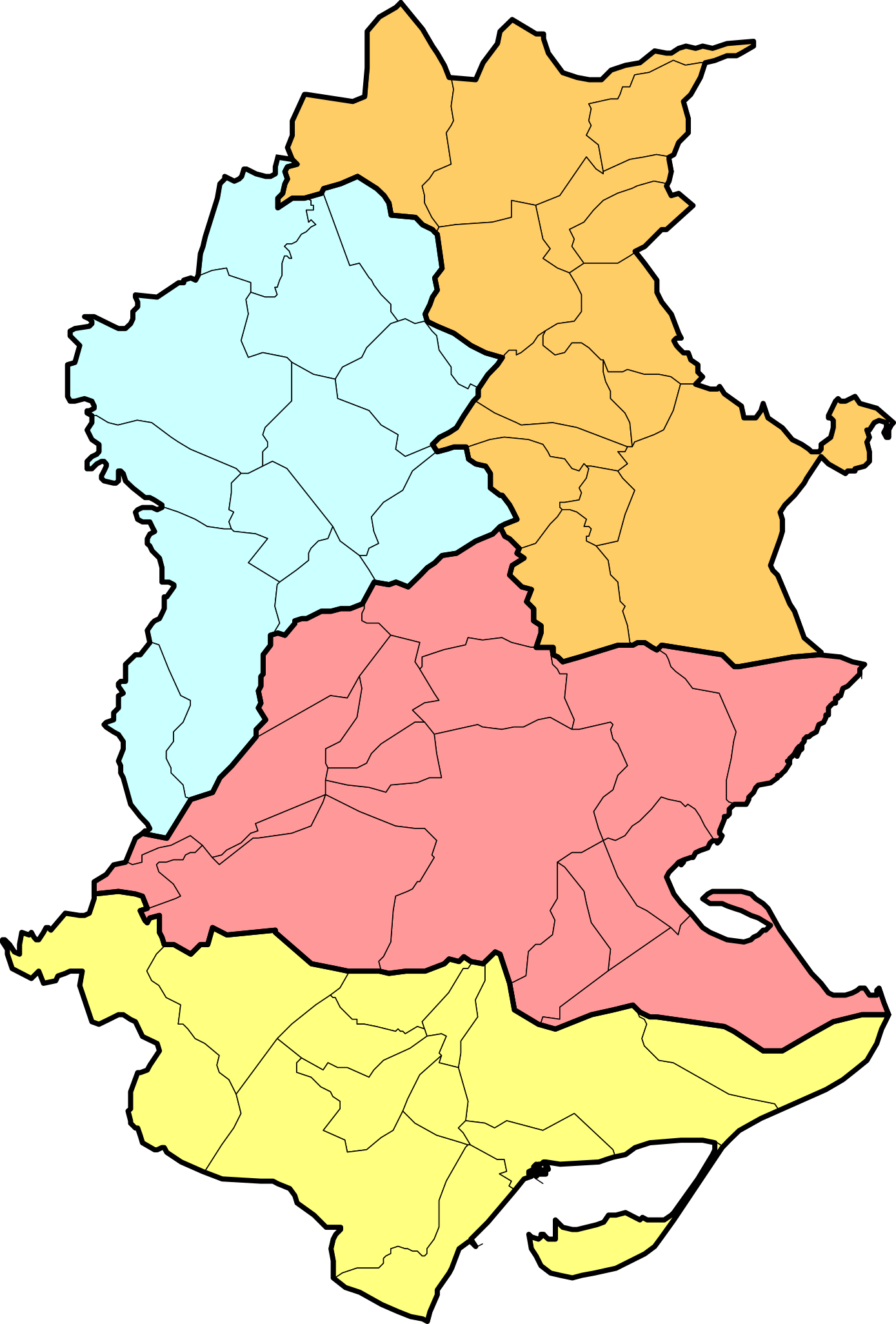
Català: Mapa de les Terres de l'Ebre segons el Pla territorial general de Catalunya de 1995 |
| Date | (UTC) |
| Source | |
| Author |
|
| Permission (Reusing this file) |
CC-BY-SA-3.0 |
This file is licensed under the Creative Commons Attribution-Share Alike 3.0 Unported license.
- You are free:
- to share – to copy, distribute and transmit the work
- to remix – to adapt the work
- Under the following conditions:
- attribution – You must give appropriate credit, provide a link to the license, and indicate if changes were made. You may do so in any reasonable manner, but not in any way that suggests the licensor endorses you or your use.
- share alike – If you remix, transform, or build upon the material, you must distribute your contributions under the same or compatible license as the original.
Imagemap code[edit]
<imagemap>
File:Comarques_de_les_Terres_de_l'Ebre.svg|

poly 78 0 88 14 93 15 100 3 109 16 118 15 128 10 146 7 136 12 133 19 134 26 131 30 130 37 135 40 125 48 132 67 136 75 146 81 149 80 158 87 161 80 166 78 174 81 170 83 170 91 164 92 161 89 152 98 150 112 160 126 145 129 140 126 122 124 112 130 103 107 101 101 93 87 89 87 94 77 99 69 84 61 87 47 82 40 79 40 70 33 55 38 58 20 72 20 72 5 [[Ribera d'Ebre]]
poly 53 33 52 41 61 39 69 36 76 43 81 43 84 50 83 57 81 63 95 70 83 85 83 90 90 89 93 96 99 100 87 107 78 112 72 112 69 116 52 122 48 130 49 140 37 153 31 161 25 143 20 141 33 114 27 99 31 98 23 91 16 91 19 78 13 75 15 64 18 61 25 63 27 55 40 54 44 34 [[Terra Alta]]
poly 97 102 100 110 96 113 103 126 110 130 121 126 137 127 143 132 167 129 149 152 140 162 129 171 140 183 150 180 137 176 145 172 152 179 161 193 170 193 173 196 161 197 149 204 143 199 128 197 124 194 111 198 101 195 99 184 93 185 87 186 79 188 61 187 55 180 42 180 36 184 32 181 31 177 29 172 19 171 27 163 32 165 39 157 44 154 53 141 55 124 73 120 74 114 82 116 [[Baix Ebre]]
poly 0 183 18 175 26 175 24 179 29 184 37 187 42 185 51 183 60 189 84 190 96 188 100 199 108 201 122 197 125 200 141 203 150 208 165 201 174 199 167 209 143 222 129 243 109 249 102 241 108 236 120 235 128 237 138 222 128 222 117 226 107 226 90 243 83 257 64 250 66 241 53 231 42 230 27 223 25 211 30 205 24 198 18 201 14 188 10 191 1 190 [[Montsià]]

desc bottom-left
</imagemap>
Original upload log[edit]
This image is a derivative work of the following images:
- File:Mapa_comarcal_i_municipal_de_Catalunya.svg licensed with Cc-by-sa-3.0, GFDL
- 2010-07-12T13:21:08Z Vinals 762x739 (1241176 Bytes) {{Information |Description={{ca|1=Mapa comarcal i municipal de Catalunya}} |Source={{own}} |Author=[[User:Vinals|Vinals]] |Date=12 juliol 2010 |Permission= |other_versions= }} [[Category:SVG blank maps of Catalonia]]
Uploaded with derivativeFX
File history
Click on a date/time to view the file as it appeared at that time.
| Date/Time | Thumbnail | Dimensions | User | Comment | |
|---|---|---|---|---|---|
| current | 18:26, 30 April 2011 | | 175 × 258 (84 KB) | SMP (talk | contribs) | {{Information |Description={{ca|1=Mapa de les Terres de l'Ebre segons el Pla territorial general de Catalunya de 1995}} |Source=*File:Mapa_comarcal_i_municipal_de_Catalunya.svg |Date=2011-04-30 18:24 (UTC) |Author=*[[:File:Mapa_comarcal_i_municipal_ |
You cannot overwrite this file.
File usage on Commons
There are no pages that use this file.
File usage on other wikis
The following other wikis use this file:
- Usage on ca.wikipedia.org