File:Coat of arms of Konotop Raion (2000–2020).svg
Jump to navigation
Jump to search

Size of this PNG preview of this SVG file: 486 × 600 pixels. Other resolutions: 194 × 240 pixels | 389 × 480 pixels | 622 × 768 pixels | 830 × 1,024 pixels | 1,660 × 2,048 pixels | 496 × 612 pixels.
Original file (SVG file, nominally 496 × 612 pixels, file size: 88 KB)
Captions
Captions
Add a one-line explanation of what this file represents
Summary[edit]
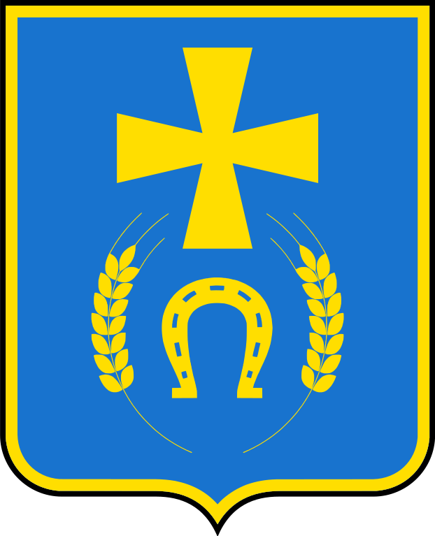
| Coat of arms | Українська: Конотопського району, затверджений 25 жовтня 2000 року XI сесією Конотопської районної ради III скликання. |
|||
| Tincture | orazure |
|||
| Date | 17 August 2017 | |||
| Artist | Gzhegozh | |||
| Source | Own work | |||
| Permission (Reusing this file) |
|
|||
| SVG development |

.svg&action=edit§ion=1)
Licensing[edit]
.svg&action=edit§ion=2)
I, the copyright holder of this work, hereby publish it under the following license:
| This file is made available under the Creative Commons CC0 1.0 Universal Public Domain Dedication. | |
| The person who associated a work with this deed has dedicated the work to the public domain by waiving all of their rights to the work worldwide under copyright law, including all related and neighboring rights, to the extent allowed by law. You can copy, modify, distribute and perform the work, even for commercial purposes, all without asking permission.
|
File history
Click on a date/time to view the file as it appeared at that time.
| Date/Time | Thumbnail | Dimensions | User | Comment | |
|---|---|---|---|---|---|
| current | 13:11, 11 September 2022 | | 496 × 612 (88 KB) | Gzhegozh (talk | contribs) | minor improvements |
| 06:51, 18 August 2017 |  | 2,381 × 2,938 (116 KB) | Gzhegozh (talk | contribs) | На кожному з колосків повинно бути 15 зерняток, у минулій версії їх було 17 | |
| 20:19, 17 August 2017 |  | 2,381 × 2,938 (118 KB) | Gzhegozh (talk | contribs) | User created page with UploadWizard |
You cannot overwrite this file.
File usage on Commons
The following 2 pages use this file:
.svg)
File usage on other wikis
The following other wikis use this file:
- Usage on be-tarask.wikipedia.org
- Usage on be.wikipedia.org
- Канатоп
- Раёны Украіны
- Канатопскі раён
- Шаблон:Канатопскі раён
- Канатопскі гарадскі савет
- Дубав’язіўка
- Андрыіўскэ (Канатопскі раён)
- Азарычы (Канатопскі раён)
- Анютынэ (Канатопскі раён)
- Базыліўка
- Білозэрка (Сумская вобласць)
- Білавусіўка (Канатопскі раён)
- Заводскэ (Канатопскі раён)
- Залізнычнэ (Канатопскі раён)
- Пытомнык (Канатопскі раён)
- Таполынэ (Канатопскі раён)
- Шэўчэнкіўскэ (Канатопскі раён)
- Бэрэжнэ (Канатопскі раён)
- Бандары (Канатопскі раён)
- Бочэчкы
- Броды (Канатопскі раён)
- Вэлыкы Самбір
- Вырыўка
- Вышнэвэ (Канатопскі раён)
- Вільнэ (Канатопскі раён)
- Воўчык (Канатопскі раён)
- В’язавэ (Канатопскі раён)
- Гамалііўка (Канатопскі раён)
- Грузкэ (Канатопскі раён)
- Гуты (Канатопскі раён)
- Дэпціўка
- Дубынка (Канатопскі раён)
- Юрыўка (Канатопскі раён)
- Духаніўка
- Жыгайліўка (Канатопскі раён)
- Жалдакы
- Зэмлянка (Канатопскі раён)
- Калышэнкавэ
- Капітаніўка (Канатопскі раён)
- Карабутавэ
- Казацкэ (Канатопскі раён)
- Каханіўка (Канатопскі раён)
- Кашары (Канатопскі раён)
- Краснэ (Канатопскі раён)
- Кузькы
- Курыліўка (Канатопскі раён)
- Лэбэдевэ
- Лысагубіўка
- Малы Самбір
View more global usage of this file.
.svg)
.svg&oldid=862808662)