File:Chiricahua mountains location map.png
Jump to navigation
Jump to search

Size of this preview: 487 × 599 pixels. Other resolutions: 195 × 240 pixels | 390 × 480 pixels | 624 × 768 pixels | 832 × 1,024 pixels | 2,000 × 2,461 pixels.
Original file (2,000 × 2,461 pixels, file size: 470 KB, MIME type: image/png)
Captions
Captions
Add a one-line explanation of what this file represents
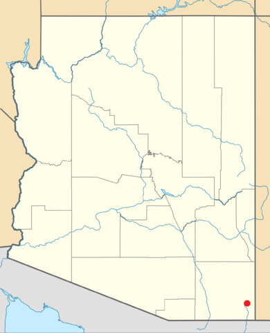
| Description | Chiricahua Mountains location map | ||
| Date | 9-5-2010 | ||
| Source | File:USA Arizona location map.svg | ||
| Author | http://commons.wikimedia.org/wiki/User:NordNordWest | ||
| Permission (Reusing this file) |
Wikipedia (nordnordwest) user [[:NordNordWest:User:{{{3}}}|{{{3}}}]], the copyright holder of this work, hereby publishes it under the following license:
|

File history
Click on a date/time to view the file as it appeared at that time.
| Date/Time | Thumbnail | Dimensions | User | Comment | |
|---|---|---|---|---|---|
| current | 18:05, 5 September 2010 | | 2,000 × 2,461 (470 KB) | BAlvarius (talk | contribs) | {{Information |Description= Chiricahua Mountains location map |Source= File:USA Arizona location map.svg |Date= 9-5-2010 |Author= http://commons.wikimedia.org/wiki/User:NordNordWest |Permission= {{GFDL-user-w|NordNordWest}} |other_versions= }} [[Category: |
You cannot overwrite this file.
File usage on Commons
There are no pages that use this file.
File usage on other wikis
The following other wikis use this file:
- Usage on en.wikipedia.org