File:Chart of the Andaman Islands Blair 1793 04.jpg
Jump to navigation
Jump to search

Size of this preview: 768 × 600 pixels. Other resolutions: 307 × 240 pixels | 615 × 480 pixels | 984 × 768 pixels | 1,280 × 1,000 pixels | 2,560 × 1,999 pixels | 13,232 × 10,334 pixels.
Original file (13,232 × 10,334 pixels, file size: 12.5 MB, MIME type: image/jpeg)
Captions
Captions
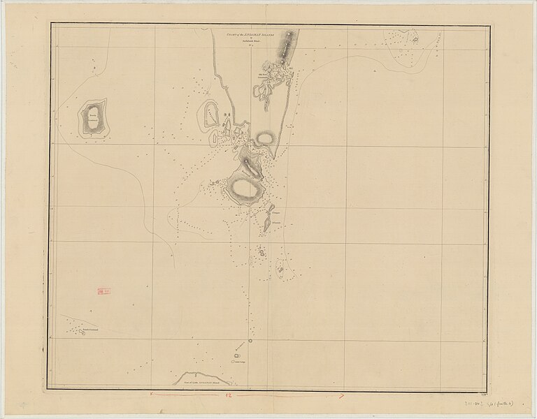
Nautical chart of the Andaman Islands
Summary[edit]
| Description |
English: Nautical chart of part of the Andaman Islands. The chart has a number at bottom right, but this does not correspond to any entry in the Admiralty Charts catalogue. It may be a number alocatedd by the East India Company |
||||||||||||||||||||||||||
| Date | |||||||||||||||||||||||||||
| Source |
|
||||||||||||||||||||||||||
| Author | Archibald Blair, 1752-1815 | ||||||||||||||||||||||||||

Licensing[edit]
This work created by the United Kingdom Government is in the public domain.
This is because it is one of the following:
HMSO has declared that the expiry of Crown Copyrights applies worldwide (ref: HMSO Email Reply)
|
 |
File history
Click on a date/time to view the file as it appeared at that time.
| Date/Time | Thumbnail | Dimensions | User | Comment | |
|---|---|---|---|---|---|
| current | 17:22, 7 May 2024 | | 13,232 × 10,334 (12.5 MB) | Kognos (talk | contribs) | Uploaded a work by Archibald Blair, 1752-1815 from {{Institution:Bibliothèque nationale de France}} with UploadWizard |
You cannot overwrite this file.
File usage on Commons
There are no pages that use this file.