File:Chalkpit Lane, East Lavant 03.jpg
Jump to navigation
Jump to search

Size of this preview: 800 × 600 pixels. Other resolutions: 320 × 240 pixels | 640 × 480 pixels | 1,024 × 768 pixels | 1,280 × 960 pixels | 2,560 × 1,920 pixels | 4,000 × 3,000 pixels.
Original file (4,000 × 3,000 pixels, file size: 3.23 MB, MIME type: image/jpeg)
Captions
Captions
Chalkpit Lane, East Lavant
Summary[edit]
| Description |
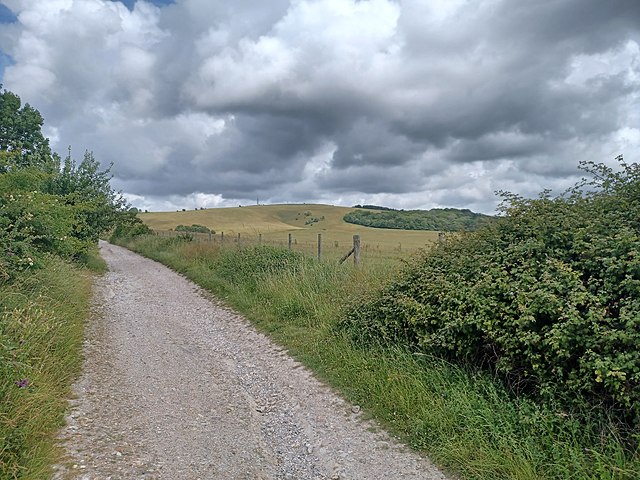
English: Chalkpit Lane, which climbs the ridge from East Lavant to St. Roche's Hill and the western base of the Trundle hillfort, and running between Lavant Down and Haye's Down. East Lavant, West Sussex, England. Looking northeast over Lavant Down towards the Trundle. |
| Date | |
| Source | Own work |
| Author | Simon Burchell |
| Camera location | | View this and other nearby images on: OpenStreetMap |
|---|
Licensing[edit]
I, the copyright holder of this work, hereby publish it under the following license:
This file is licensed under the Creative Commons Attribution-Share Alike 4.0 International license.
- You are free:
- to share – to copy, distribute and transmit the work
- to remix – to adapt the work
- Under the following conditions:
- attribution – You must give appropriate credit, provide a link to the license, and indicate if changes were made. You may do so in any reasonable manner, but not in any way that suggests the licensor endorses you or your use.
- share alike – If you remix, transform, or build upon the material, you must distribute your contributions under the same or compatible license as the original.
File history
Click on a date/time to view the file as it appeared at that time.
| Date/Time | Thumbnail | Dimensions | User | Comment | |
|---|---|---|---|---|---|
| current | 16:38, 1 July 2022 | | 4,000 × 3,000 (3.23 MB) | Simon Burchell (talk | contribs) | Uploaded own work with UploadWizard |
You cannot overwrite this file.
File usage on Commons
The following page uses this file: