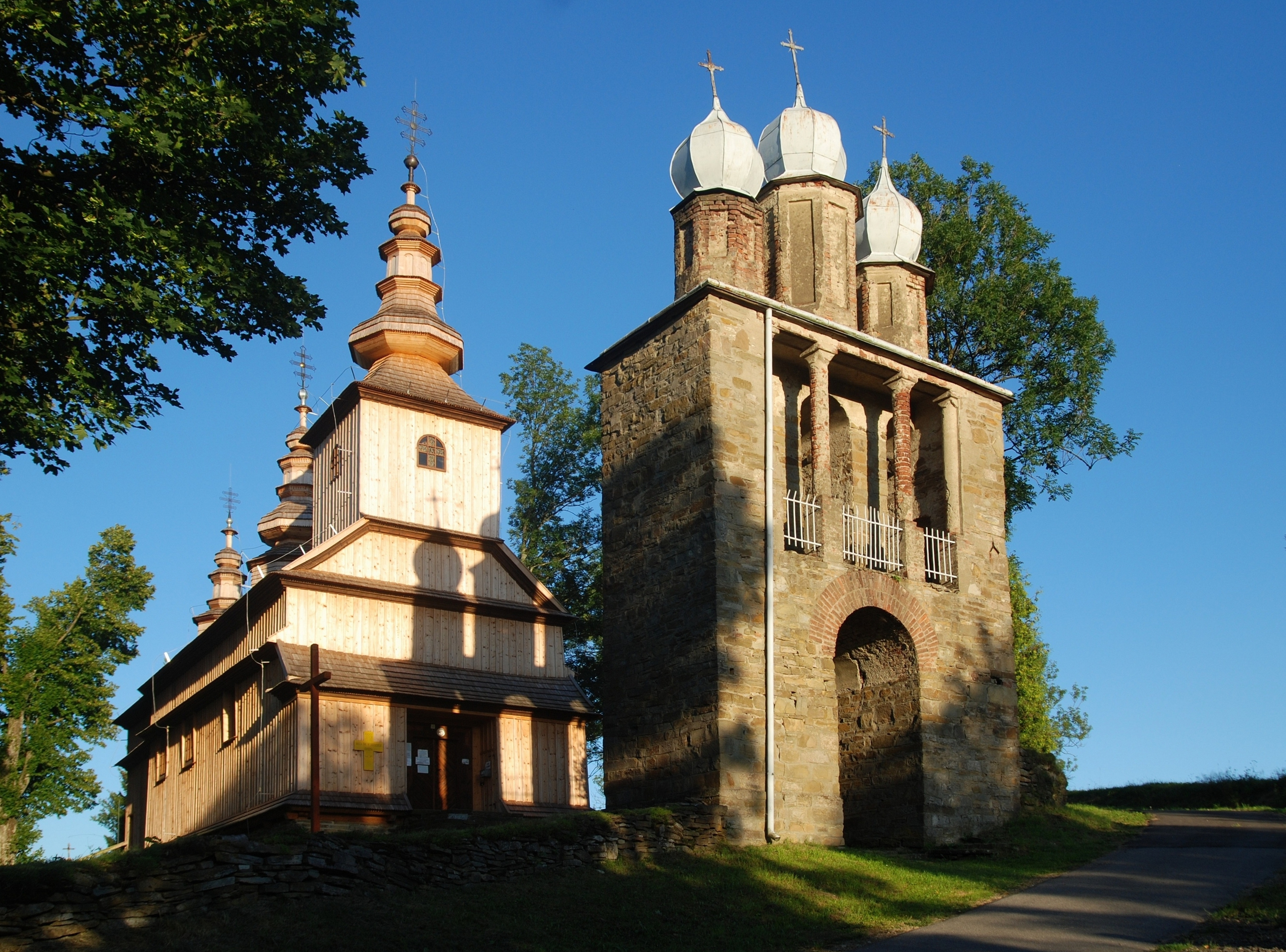
File:Cerkiew św. Dymitra w Radoszycach, widok z północy.jpg
Jump to navigation
Jump to search
Size of this preview: 800 × 592 pixels. Other resolutions: 320 × 237 pixels | 640 × 474 pixels | 1,024 × 758 pixels | 1,280 × 948 pixels | 2,560 × 1,895 pixels | 6,526 × 4,831 pixels.
Original file (6,526 × 4,831 pixels, file size: 8.65 MB, MIME type: image/jpeg)
Captions
Captions
Add a one-line explanation of what this file represents
Summary[edit]
| Description |
|
| Date | |
| Source | Own work |
| Author | Henryk Bielamowicz |
| Camera location | | View this and other nearby images on: OpenStreetMap |
|---|
Licensing[edit]
I, the copyright holder of this work, hereby publish it under the following license:
This file is licensed under the Creative Commons Attribution 3.0 Unported license.
- You are free:
- to share – to copy, distribute and transmit the work
- to remix – to adapt the work
- Under the following conditions:
- attribution – You must give appropriate credit, provide a link to the license, and indicate if changes were made. You may do so in any reasonable manner, but not in any way that suggests the licensor endorses you or your use.

|
This image was uploaded as part of WikiVacations contest in Poland.
|
File history
Click on a date/time to view the file as it appeared at that time.
| Date/Time | Thumbnail | Dimensions | User | Comment | |
|---|---|---|---|---|---|
| current | 20:03, 28 August 2016 | | 6,526 × 4,831 (8.65 MB) | Henryk Bielamowicz (talk | contribs) | zmiana kadru |
| 18:28, 25 August 2016 |  | 3,476 × 2,462 (5.53 MB) | Henryk Bielamowicz (talk | contribs) | User created page with UploadWizard |
You cannot overwrite this file.
File usage on Commons
The following 4 pages use this file:
File usage on other wikis
The following other wikis use this file:
- Usage on ceb.wikipedia.org
- Usage on ce.wikipedia.org
- Usage on fr.wikipedia.org
- Usage on tt.wikipedia.org
- Usage on www.wikidata.org