File:Central and South Europe blank map.png
Jump to navigation
Jump to search
No higher resolution available.
Central_and_South_Europe_blank_map.png (509 × 335 pixels, file size: 59 KB, MIME type: image/png)
Captions
Captions
Add a one-line explanation of what this file represents
| Description |
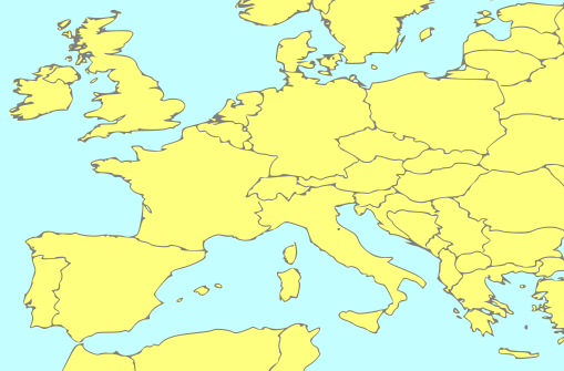
English: Blank political PNG map of Central and South Europe
Polski: Pusta mapa polityczna środkowej i południowej Europy w formacie PNG |
||||
| Date | |||||
| Source | own work based on Image:Europe blank map.svg | ||||
| Author | deriv: pl:User:Qu3a, original: Radosław Botev | ||||
| Permission (Reusing this file) |
|
File history
Click on a date/time to view the file as it appeared at that time.
| Date/Time | Thumbnail | Dimensions | User | Comment | |
|---|---|---|---|---|---|
| current | 18:27, 28 August 2008 | | 509 × 335 (59 KB) | Qu3a (talk | contribs) | {{Information |Description={{en|1=Blank SVG map of Central and South Europe}} {{pl|1=Pusta mapa środkowej i południowej Europy w formacie SVG}} |Source=own work based on a PD map from Demis |Author=pl:User:Qu3a |Date=Aug 28, 2008 |Permission={{PD-D |
| 20:58, 27 August 2008 |  | 510 × 339 (60 KB) | Qu3a (talk | contribs) | {{Information |Description={{en|1=Blank SVG map of Central and South Europe}} {{pl|1=Pusta mapa środkowej i południowej Europy w formacie SVG}} |Source=own work based on a PD map from Demis |Author=pl:User:Qu3a |Date=Aug 27, 2008 |Permission={{PD-D |
You cannot overwrite this file.
File usage on Commons
There are no pages that use this file.