File:Central McDougall.svg
Jump to navigation
Jump to search

Size of this PNG preview of this SVG file: 800 × 408 pixels. Other resolutions: 320 × 163 pixels | 640 × 326 pixels | 1,024 × 522 pixels | 1,280 × 652 pixels | 2,560 × 1,305 pixels | 871 × 444 pixels.
Original file (SVG file, nominally 871 × 444 pixels, file size: 2.63 MB)
Captions
Captions
Add a one-line explanation of what this file represents
| Description |
OpenStreetMap cut-out (or derivative work based on it): |
| Date | missing, probably the upload date |
| Source | OpenStreetMap project data |
| Author | OpenStreetMap contributors |
| Permission (Reusing this file) |
All OpenStreetMap data and maps are licensed under: This file is licensed under the Creative Commons Attribution-Share Alike 2.0 Generic license.
|
Summary[edit]
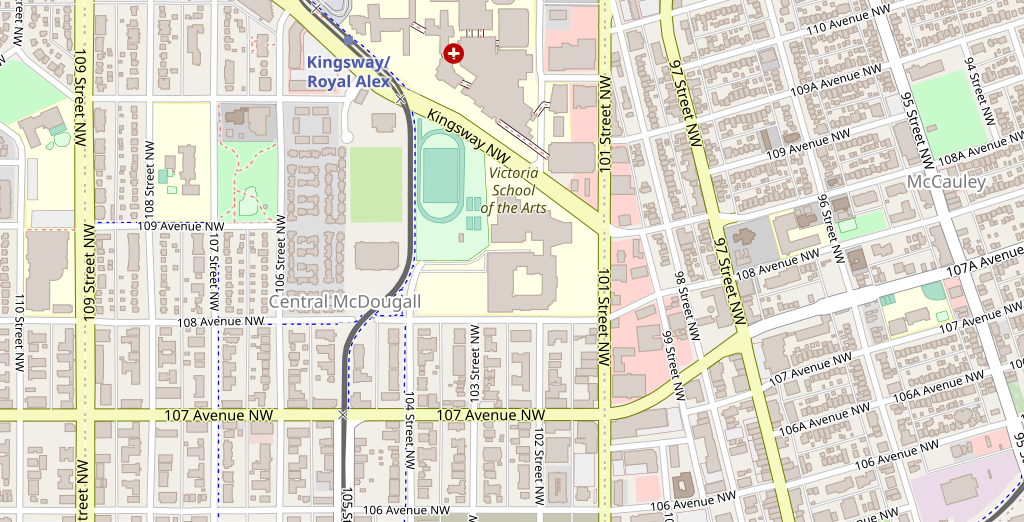
| Description | Map of Central McDougall in Edmonton |
| Date | |
| Source | OpenStreet Map © OpenStreetMap contributors |
| Author | natster101 |
| Permission (Reusing this file) |
This file is licensed under the Creative Commons Attribution-Share Alike 2.0 Generic license.
|
File history
Click on a date/time to view the file as it appeared at that time.
| Date/Time | Thumbnail | Dimensions | User | Comment | |
|---|---|---|---|---|---|
| current | 07:12, 29 October 2020 | | 871 × 444 (2.63 MB) | Natster101 (talk | contribs) | {{Information |Description= Map of Central McDougall in Edmonton |Source= OpenStreet Map |Date= Oct 29 2020 |Author= natster101 |Licence= {{Cc-by-sa-2.0}} }} |
You cannot overwrite this file.
File usage on Commons
There are no pages that use this file.